
iPhone Screenshots
Description
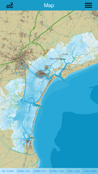
The first lagoon chart available as an App, produced by Mare di Carta publisher building on the experience of the printed "Carta della laguna di Venezia" at 1:25,000 scale, drawn from the official data of the Interregional Authority for Public Works of Veneto, Trentino Alto Adige and Friuli Venezia Giulia, which for over 500 years — once known as the Magistrato alle Acque and today as the Venice Lagoon Authority — has overseen the lagoon's waters.
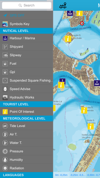
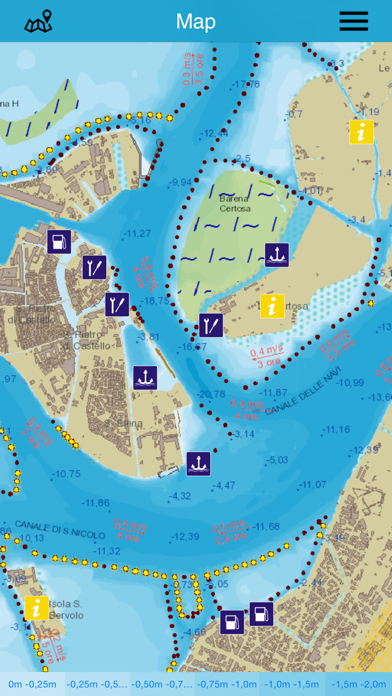
Featuring marinas, harbours, fuel stations, slipways and other information useful for navigation, the app includes a nautical navigator that calculates routes along the navigable channels taking into account your type of vessel and draught, and offers a handy speedometer for boaters showing in real time the maximum permitted speed in the channel you are sailing and the channel's name. The app gives a visual warning when the speed limit is exceeded.
For those travelling by public transport, the app displays the ACTV vaporetto stops on the map.
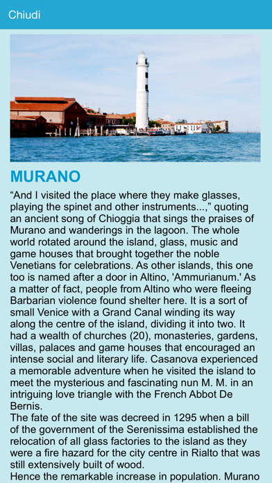
For everyone, historical information — island by island — and environmental insights are available for a better visit and understanding of today's lagoon, including the changes brought about by the safeguarding works. Real-time data on tides, temperature and other environmental information can also be consulted.
"Carta della laguna" is therefore an indispensable tool for getting to know the lagoon: a guide for the visitor, but also a wealth of practical information for those who already know the lagoon well and appreciate finding so many layered details in a single app.