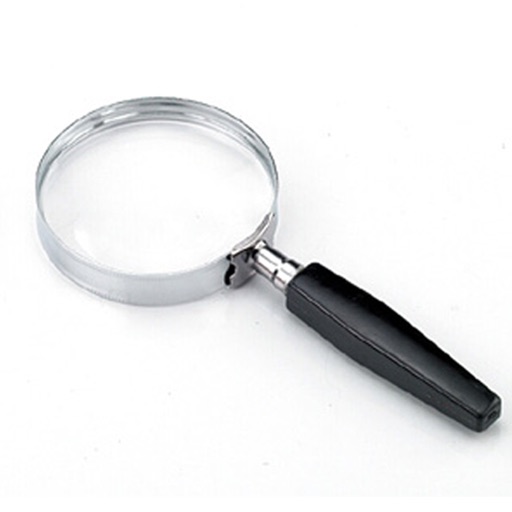
The app functions as a magnifying glass using the device's camera to display a magnified image. Users can adjust the zoom factor up to x4 and utilize the camera flash as a flashlight for improved visibility.
Navigation allows users to view direction aligned with satellite imagery or maps. Displays street address, GPS coordinates, elevation, and What3Words codes. Taps switch between satellite and map views. Pinch or spread to zoom.
Navigation allows users to view and share GPS coordinates in six formats. It includes a , altitude, distance, and sunset/sunrise tracking. Users can set and edit waypoints with photo or audio notes.
Capture moments with filters and cinematic effects
Capture photos with full manual controls over shutter speed, ISO, and white balance. Apply 35mm filters inspired by Kodak, Fuji, and Agfa. Use cinematic effects to enhance images and preserve memories as -style photographs.
Navigation provides GPS tracking, map navigation, and route planning. Includes tools, field manuals, and live conflict updates. Users can access guides, track locations, and receive real-time news.
Capture and stamp photos with GPS position, direction, altitude, and timestamp. Add notes including project name, photo description, company or username, and logo via in- purchase. Overlay location data directly on images for accurate documentation.
Add spooky ghosts, vampires, and other supernatural entities to photos. Choose from various spooky effects and customize appearance. Share edited photos directly or save to device.
Record using both front and back cameras simultaneously. Capture picture-in-picture footage with one camera. Save videos to the photo library for easy management, sharing, and deletion. Enable night mode for improved lighting.
Enhance low- photos with real-time amplification. Adjust between amplification and exposure modes. Capture details in twilight with up to one-second exposure. View enhanced images instantly without additional hardware.
Edit photos with crop, rotate, exposure, color, sharpness, and resize tools. Create grid collages and edit individual images. Access presets, clone tool, and fine curve adjustments for detailed edits. Export and share edited photos directly.
Apply lo-fi and retro filters to photos and videos. Choose from instant camera, hipster, disposable, and styles. Add grain, vignette, dust, and light leaks. Customize color filters and presets. Save and share edited content.
Tag with GPS data including location, address, date, time, coordinates, altitude, weather, and temperature. View map overlays and share geotagged images with precise location details.
Edit photos with -style filters, , and color grading. Adjust exposure, contrast, and saturation. Save and share edited images. Access tutorials on composition and photography techniques.
View and edit metadata for photos, including GPS location and geotagging. Remove data from images. Access metadata from iOS devices, Photo Stream, or iCloud. Sync across all iOS devices with a single purchase.
Capture with real-time live effects and color presets. Apply adjustable effects and enhance colors simultaneously. Use screen flash for better results in low light. Share directly from the .
Share real-time GPS location via email, text, or social media. Recipients receive a map link showing your position. Supports multiple coordinate formats including degrees, UTM, and MGRS. Compatible with Apple Maps, Google Maps, and Bing.
Create time- and stop-motion videos with intuitive controls. Adjust speed, add transitions, and apply filters. Export in various formats and share directly. Sync with cloud services for backup and access.
Measure distances and angles using a rangefinder and inclinometer. View GPS coordinates and map overlays. Take geo-tagged photos and videos. Use a compass and navigation calculator for orientation and route planning.