Displays speed in knots, km/h, mph, or m/s. Shows current coordinates and altitude. Switch units easily. routes and save with position, distance, and speed data. Logs stored as GeoRSS in iCloud for cross-device access.
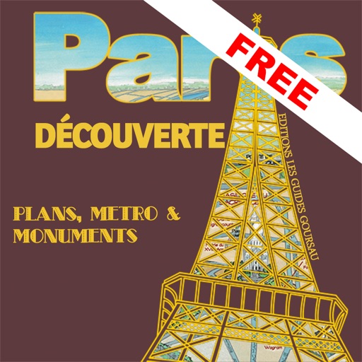
The app presents a hand-drawn 3D map of Paris, showing major sites and attractions. It provides details for attractions and includes a metro map to aid navigation.
The app provides aviation navigation for Southern Africa with a GPS moving map and detailed airfields database. It includes airspace information, flight planning, and an E6B calculator for enhanced situational awareness.
The app calculates relative humidity or dew point based on air temperature. Users can determine the dry bulb temperature, relative humidity percentage, or dew point temperature by inputting two known values.
Measure distances, remember locations, get headings.
The app measures distances, remembers locations, and provides magnetic headings between selected points. It displays coordinates in decimal degrees and degree minute second formats, and allows users to save locations with custom names.
The app turns an iPhone into a GPS tracker for use with a RASTRAC Live Tracking web account. It tracks device movements based on distance, speed, and turn detection, and sends statuses and form messages.