
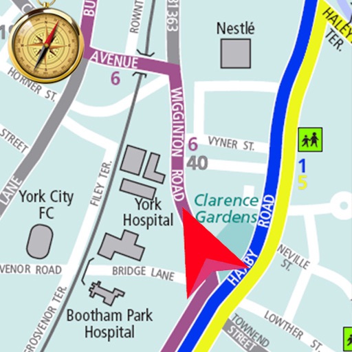
Apps Like Offline Navigation Route Maps for iPhone and iPad
Offline Navigation Route Maps screenshots
Ranked alternatives
Showing 221–240 of 1,000 ranked alternatives.

Marine Navigation-USA Lake Map
Bist LLC
Navigate with voice prompts and route manager
Access vector charts, freshwater maps, and USACE river maps. Create or import routes using GPX/KML. Receive voice prompts for navigation. View tide and current predictions. Rotate charts with text remaining upright.



OutDoors GB - Offline OS Maps
RoadTour LLC
Explore and navigate trails
Access detailed topographic and 15 GB of National Parks data. Navigate off-road trails, view elevation contours, and mark waypoints. Share and track progress with GPS. Sync with devices for real-time navigation.



GPS Navigation ~ Map Direction
Lakkad Dharmesh
Find nearby places and track traffic
Navigate using real-time traffic updates and a built-in compass. Find nearby restaurants, ATMs, and gas stations. Save and access favorite routes. Mark and organize favorite places for quick reference.


London Maps Offline
JOMO Solutions Ltd.
Offline maps for London navigation.
The app provides offline Ordnance Survey maps of London with detailed features for navigation. It includes an offline search for places, roads, and postcodes, and offers online Apple maps with 3D buildings and points of interest.

Club VTT de La Matapédia
9322-5613 Quebec Inc
Explore trails and points of interest.
The app allows users to view and search points of interest including gas stations, tourist attractions, and accommodations. It also locates users on the map using GPS and suggests routes for exploring new trails.

Topo maps - Sweden
Shingle Oy
Save tracks and view topography offline
Use topographic of for accurate navigation. Save and view tracks with detailed information. Export tracks as GPX files and import place marks. Measure distances on . Access offline without internet connection.

EV Navigation
GPS Tuner Systems Kft.
Find charging stations and plan routes
Plan routes and provide turn-by-turn . Locate and navigate to charging stations. Calculate remaining range based on driving habits, tire pressure, weight, wind, and temperature. Sync with vehicle data for real-time updates.





Pacenote Maps
Pacenote Maps LLC
Generate drives with AI and track
Generate drives using AI prompts for complete routes with CarPlay integration. Browse community-curated roads with photos, surface notes, and distance details. Create custom routes by tapping to add locations and save them for future trips.

San Jose Transit
Navnit Jogi
Access VTA bus and light rail
The app provides offline access to VTA bus and light rail schedules, including stop timings and trips. Users can view routes and stops on a map, search by location, and save selected.

How we rank alternatives
Apps are ranked by functional similarity, category fit, rating confidence, and popularity.