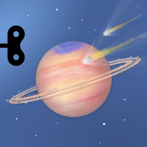
Explore animated datasets like Saturn’s rings, atmospheric storms, and climate change. Rotate and zoom 3D models. Compare data layers. Save and share visualizations. Learn about environmental processes through interactive imagery.
by University of Colorado Boulder★ 4.720 ratingsEducationFreeData updated 2026-09-14
Track daily water, grain, and land savings from a vegan diet. Monitor CO2 reduction and animal lives spared. Provide facts on climate change, ocean dead zones, and deforestation linked to animal product consumption.
Explore the solar system by visiting planets like Mercury, Venus, Earth, Mars, Jupiter, Saturn, Uranus, and Neptune. Rotate planets, zoom in on surfaces, and launch meteorites through the atmosphere.
Monitor solar activity and its impact on Earth. Track earthquake events and high-risk areas. Access 80+ solar video streams and 30+ real-time data feeds. Receive alerts for potential events and planetary disturbances.
Explore phenomena by interacting with models of clouds, rain, snow, and storms. Adjust temperature, wind, and precipitation to simulate different conditions.
Explore educational content with interactive space-themed planets featuring eBooks and activities. Complete quizzes and track progress via a dashboard. Designed for K-5 students, it includes privacy features and is free to download.
View current conditions and severe alerts for location. Access interactive radar to track storms and precipitation. Check hourly temperature forecasts and view a 7-day forecast. Receive continuous updates day and night.
Teaches early childhood skills through interactive stories and games. Includes phonics, numbers, colors, and shapes. Features animated characters, progress tracking, and parental controls. Syncs with educational standards and offers offline access.
View real-time radar and satellite imagery for tracking. Access color-coded alerts by severity. Use GPS for location-based forecasts. See road conditions with the Road Index. Display maps in vertical or horizontal format with looping.
Track current , precipitation, and temperature. View imagery and storm tracking. Set customized alerts for severe . Forecast daily and hourly conditions. Share data with others.
Explore fossils by digging in virtual soil and assembling skeletons using tools. Solve puzzles to identify shapes and improve memory through themed games. Track progress in visual perception, concentration, and hand-eye coordination.
Explore ecosystems with interactive maps and trail navigation. View videos and read about native plants, animals, and habitats. Learn about wildlife and environmental conservation through educational content.
John Fitzgerald Kennedy Library Foundation Incorporated
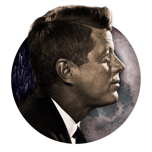
Explore AR space missions and Kennedy's vision
Explore an augmented reality recreation of the Saturn V rocket and a 5-day mission simulation. Interact with AR games, view NASA footage, and access educational content about the moon landing and President Kennedy’s vision.
The app provides live satellite imagery for various regions, including North America and Europe. It tracks storms worldwide with precise projected paths and detailed forecasts, offering a complete view of weather conditions.
Create scatterplots and fit simple or multiple linear, logistic, or exponential models. Display standard errors, confidence intervals, and P-values for model parameters. Include categorical predictors and two-way interactions.
View real-time high-resolution for storm and precipitation tracking. Access global forecast models for detailed predictions. Monitor air quality and receive accurate forecasts. Track severe patterns and plan accordingly.