Access airport information including NOTAM, SNOWTAM, METAR, and TAF reports. Search by city, name, or identifier. Save personal notes for frequently visited . View data on iPad and iPhone. Includes a database of over 27,000 .
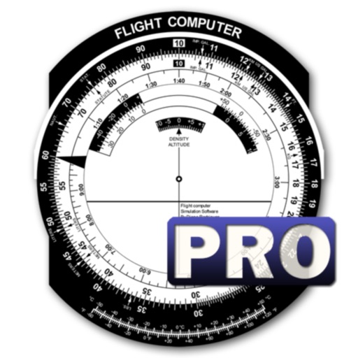
Calculate by entering speed and air temperature. Support units for air temperature including °C, °F, and Kelvin, and speed in mph, km/h, m/s, and knots. Include a temperature converter for unit conversion.
Remove background and retain clear vocals using AI vocal extraction. Eliminate wind, music, and traffic sounds. Trim audio or video clips directly. Enhance stereo sound for a more natural listening experience.
Log details, track usage, and record maintenance for models. Use QR codes to quickly log flights and batteries. Monitor fuel consumption for nitro and gas models. Support multiple model types including planes, drones, and helicopters.
Listen to calming sounds like beach waves, birds chirping, campfire, and forest soundscapes to aid sleep. Set a sleep timer, save favorite sounds, and receive regular updates to expand the collection.
In and out up to 15x while taking photos using a slider. Auto-stabilize images and videos. Adjust photo quality automatically. Use timer settings for 3, 10, or 20 seconds. Enable tap-to-shoot or swipe-to- options. Video available via in- purchase.
Calculate bullet trajectory with wind, distance, and elevation inputs. Adjust for bullet drop and velocity. Save and recall custom loads. Export data for analysis. Sync with external devices for real-time adjustments.
Track weather forecasts for up to 10 days with hourly updates. View maximum, minimum, and average temperatures. Monitor wind speed, sunrise and sunset times, humidity, cover, and moon phases. Receive alerts for light rain and UV index changes.
Display current temperature, humidity, wind speed, direction, feels like, and pressure. Update data every 10 to 30 minutes. Set alarms with customizable settings. View large digital or analog faces. Choose from various themes and adjust settings.
The app computes heading corrections and ground speed. It aids navigation and diversion techniques for pilots by displaying groundspeed and correction angles around a compass rose.
The app provides data-driven debriefs for pilots, analyzing flights into segments to evaluate performance. It offers maneuver scoring, reviews of flight data, and chart overlays to identify areas for improvement.