Track flight altitude, speed, and heading in real time. Monitor waypoint progress and adjust flight path remotely. Control simulated flights via plugin integration. View navigation data wirelessly from a mobile device.
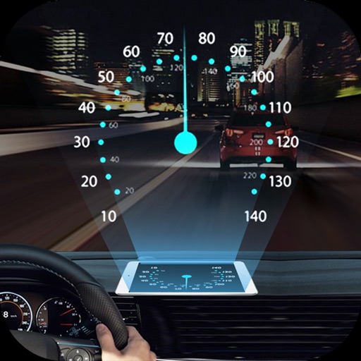
Projects speed, clock, weather temperature, cruise control, and now playing song information onto the windshield when iPhone is rotated and placed near the windshield. Displays data in landscape mode for easier visibility while driving.
Monitor boat location in real time and receive alerts for drifting. Track vessel progress remotely. Set up preconfigured notifications for security events. Share live updates with designated contacts. Sync with other vessels for flotilla management.
Access charts for based on CHS data. Create and manage boating routes with route manager. Import GPX/KML files. Use voice prompts for . View nautical charts with course orientation.
The app provides worldwide marine and outdoor maps, satellite imagery, and terrain overlays. It offers local marine weather forecasts, route planning with unlimited waypoints, and track recording without needing a cellular signal.
Monitor current and direction using real-time data. View compass integration for accurate navigation. Save and access favorite locations for quick reference.
Enter MGRS or coordinate data to navigate to specific points. Adjust pace count and track deviations. View distance, speed, and angle settings in meters/km or feet/miles. Analyze movement patterns for navigation improvement.
View real-time conditions on metro area freeways and streets. Access a zoomable map with scrollable navigation. Check lists of accidents, construction, and hazards. Get updates on special events impacting .
The app provides aviation navigation for Southern Africa with a GPS moving map and detailed airfields database. It includes airspace information, flight planning, and an E6B calculator for enhanced situational awareness.
Track performance in sailing, kitesurfing, windsurfing, snowkiting, and landkiting. Record jump height using iPhone or Apple Watch with drone-inspired algorithms. Organize races for championships or training.
Search for points of interest using a 3000+ database filtered by distance. View results on an interactive map with detailed information. Access nautical charts, regulatory details, marina locations, and yacht services.
Reference "Access up-to-date transit data and maps. Search routes and transfer options with timing, cost, and distance details. Get real-time navigation and nearby station info. View service details and operate offline without internet."