

Apps Like BT Satmeter for iPhone and iPad
BT Satmeter screenshots
Ranked alternatives
Showing 261–280 of 1,000 ranked alternatives.


Radius on Map : draw circle
Kevin Willett
Create and share map URLs via email
Create and manage map radiuses with customizable center coordinates, , and color settings. Share URLs via email or text to display radiuses in any browser. Include names, notes, and choose from multiple coordinate and distance formats.

GNSS View
NEC Corporation
Track satellite positions in real time
Satellite positions in real time using the Quasi-Zenith Satellite System. Identify satellite orbits and track their movement. Access detailed information about each satellite's location and status. Share satellite data with others via social media.

Farness
Apperdashery LLC
Measure distance between locations
Measure distance by dropping pins or drawing paths on a map. Calculate total distance and segments between locations. Search and auto-complete locations. Use current location. Save and share custom maps. View Standard, Hybrid, or Satellite map types.
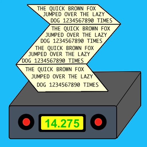
Morse Pad
Black Cat Systems
Decode morse code transmissions on device.
The app decodes morse code transmissions on an iPad, iPhone, or iPod Touch. It can automatically determine the sending speed and track frequency changes.




Spy Camera Scanner Finder Pro
Emre Erol
Scan for signals, devices, and fields
Wi-Fi detects connected devices on your network. Identifies unknown or unauthorized devices. Measures magnetic fields and wireless signals. Alerts users to potential security risks. Allows manual device disconnection.


Aeromet - METAR & TAF
FRESAN MARKETING DIRETO LTDA
Track weather and route conditions
Monitor weather conditions along your route with real-time , TAF, and SIGMET data. Access satellite imagery, radar, and 3D terrain. View NOTAMs and historical data for offline reference. Track storm warnings and flight visibility reports.

Live Earth Map: Street View
Sanket Rola
Track locations in real-time 3D
3D maps with high-resolution terrain details. Track real-time GPS locations. Explore satellite imagery and active satellite data. Navigate through cities and rural areas with detailed landscape visuals.
Meteo
Stephan Hotto
Weather data for Europe analysis.
The app displays weather data from the German Weather Service for Europe. Hobby meteorologists can use this data to create their own weather forecasts.


GT Sat
Innser S.r.l.
Manage vehicle mobility with telematic services.
The app manages vehicle mobility for users with GT satellite systems. It offers features such as vehicle localization, car finder, alarm control, engine immobilization, maintenance status, and navigation to a selected vehicle.

How we rank alternatives
Apps are ranked by functional similarity, category fit, rating confidence, and popularity.