
Hikely - Hike, Bike, Run
猛 王
Track hikes, analyze stats, conquer trails
Track hiking routes with recording features and analyze performance data. Receive personalized recommendations. Set goals and explore a large trail library.

Showing 301–320 of 1,000 ranked alternatives.
猛 王
Track hikes, analyze stats, conquer trails
Track hiking routes with recording features and analyze performance data. Receive personalized recommendations. Set goals and explore a large trail library.


MOTORLINE ELECTROCELOS S.A.
Explore trails and discover hikes
Explore hiking trails, cycling paths, and running routes in Gerês, Vieira do Minho, and surrounding areas. View detailed descriptions, photos, and route statistics including distance, duration, and difficulty.




Iphigenie
Navigate with detailed topographic maps
Plan hikes by downloading detailed topographic maps for offline use. Access IGN, SwissTopo, and OpenTopo basemaps. Track routes, view elevation data, and navigate with precise geographic information. Share maps and waypoints with others.


Amistad Spolka Z Ograniczonia Odpowiedzialnoscia
Plan , navigate, and explore
Plan using offline and save them to My Map. Pin points of interest with descriptions and photos. Navigate existing or to any location. Record trips and display elevation graphs. Export as .gpx files. Integrate with Garmin. Buy professional .


Government of Western Australia - Department of Parks and Wildlife


Syzygy Research & Technology Ltd.
View maps, download trails, store routes
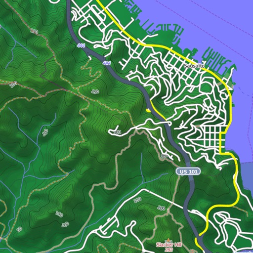
View and download detailed maps with topographical hillshading and contour lines. Store maps for offline use. Navigate using detailed terrain features. Find hiking trails, ski runs, and back streets.


Mapgears Inc.
Navigate and share maps
Manage and maintain with real-time data access. Inspect trail conditions, update infrastructure details, and collaborate with team members. Sync with web platform for updates and notifications.


Apps are ranked by functional similarity, category fit, rating confidence, and popularity.