
Madrid Metro - Map and Routes
Mapway Inc.
Navigate Madrid Metro transit simply.
The app provides navigation for Madrid Metro transit. It offers interactive maps for journey planning and displays routes.

Showing 21–40 of 1,000 ranked alternatives.
Mapway Inc.
Navigate Madrid Metro transit simply.
The app provides navigation for Madrid Metro transit. It offers interactive maps for journey planning and displays routes.

Yuriy Lukyanets
View offline and track progress
View from geocaching.com, geocaching.su, and other supported sites. Access cached locations offline with local storage. Load data asynchronously for continued map use. Non-premium users have daily download limits on full geocache info.


Sherstyuk Ivan Ivanovych
Public transport routes and real-time data.
The app provides public transport routes and real-time data in select cities across Ukraine, Bulgaria, Croatia, Greece, Moldova, Serbia, and Turkey. It offers offline mode, route search, schedule information, and GPS tracking.


Ajnaware Pty Ltd
Track lunar phases and eclipses
View lunar phases and eclipse details with start and end times, maximum magnitude, and visibility. Use calendar, compass, map, and AR camera views to track the path and timing. Plan outdoor activities based on optimal light conditions.

Finoit Technologies (I) Pvt. Ltd.
Delhi Metro information offline and online.
The app provides offline information for the Delhi Metro system. It includes route search, fare calculation, and station details.

MU SI DO
Overlay photos on dynamic maps
Lets users overlay photos on Apple Maps for real-time navigation. Photos rotate and scale with movement. Users can track GPS paths, tag locations, and mark waypoints.
Ratha Sou
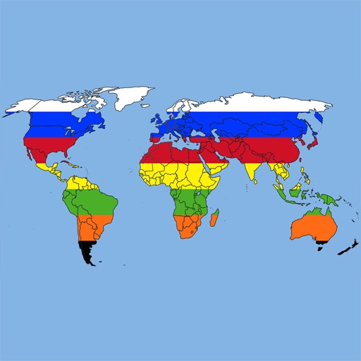
Explore world flags and countries' details.
The app provides definitions and history for national flags. It also includes official country names, capitals, locations, area, population, and national anthems.

Myriel Aviation SA
Plan flights, track weather, view maps
Plan flights with detailed weather data, airport information, and NOTAMs. Overlay georeferenced charts on aviation maps. Access IFR and VFR plates for over 200 countries. Manage and download airport plates in advance.

Kyle Modesitt
Find hot and view details
Find hot across the USA with detailed location data. View temperature, local weather, nearest city, and search results. Access offline maps and monthly updated database. Tap to see driving distance and time from your location.


Mapway Inc.
Navigate lines and stations
Navigate system with real-time route planning and step-by-step directions. Find nearby stations, transfer lines, and check arrival times. Tap to tap PASMO cards for seamless entry. View maps, zoom, and pan for accurate positioning.


Zuzana Eskinasi
Track lunar phases and view path
View the position through augmented reality. Explore 2D and 3D lunar path visualizations. Access detailed data tables showing phases, eclipses, supermoon dates, moonrise and moonset times, and age.

virtualmaze
Navigate with turn-by-turn guidance
Navigate with turn-by-turn instructions and real-time guidance. Choose routes for car, motorbike, bicycle, or walking. Add way-points for optimized paths. Locate nearby hotels, restaurants, hospitals, and ATMs .


Mapway Inc.
Navigate Beijing's subway system easily.
The app provides interactive maps for navigating the Beijing MTR. It offers offline journey planning and step-by-step directions, supporting both English and Chinese station names.

Corvin Hartmann
View maps, search locations, customize settings
View maps in three different styles with six customizable settings. Long press to access map options. Search for locations and streets. Navigate with fullscreen map interface.

UCI Student Center
Navigate the University of California Irvine
The app provides an interactive campus map and guide for the University of California, Irvine. It helps users find buildings, departments, and services with smart search and provides walking routes.
Apps are ranked by functional similarity, category fit, rating confidence, and popularity.