Convert ArcGIS point feature layers into augmented reality scenes. Import and visualize spatial data in real-world environments. Adjust layer properties and view 3D representations. Share AR scenes with others for collaboration.
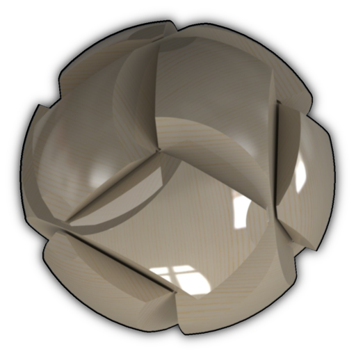
View and interact with photorealistic 3D models using augmented reality. Explore materials like metal, fabric, and wood with accurate color and texture. Access models via links, QR codes, or files.
Zoom in and out with a single finger. Adjust brightness or dim the screen using the same gesture. Freeze the image with a simple touch. Navigate without tapping small icons by using intuitive onscreen gestures.