
Compass Map-Camera
Pawel Mitek
Mark objects on map and view
Mark objects on the map and align them with real-world images from the camera. View mapped locations with camera input. Use for direction and navigation.

Showing 161–180 of 1,000 ranked alternatives.
Pawel Mitek
Mark objects on map and view
Mark objects on the map and align them with real-world images from the camera. View mapped locations with camera input. Use for direction and navigation.

Craig Hunter
Navigate with AR and map your path
Measure direction and elevation with a digital compass and inclinometer. Access real-time GPS and map data. Navigate using location-based routes. Share coordinates and track movement history.


Elen Bekzadyan
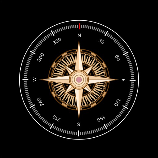
Track device orientation and magnetic fields
Displays real-time device orientation relative to magnetic fields. Switch between true and magnetic North. Shows location coordinates, course, speed, and altitude. Tracks movement and provides directional data.

Laurent Simond
Switzerland maps with location data
The app provides maps of Switzerland in two resolutions. Users can draw lines on the map in the direction measured by the iPhone, showing distance and azimuth to the pointed location.


ExaMobile S.A.
Rotate , find direction, navigate trails
Use to determine directions and navigate. Rotate device 360 degrees for orienteering. Access camera preview to align with surroundings. Set bearings and track movement without GPS.
APPAS SOLUTIONS, SOCIETATEA CU RASPUNDERE LIMITATA
Capture in 45x view
Take photos with 45x digital . Pinch to in or out. Manually focus and capture zoomed images. Access a secret folder for secure storage. Use compass to determine cardinal directions. View GPS coordinates from GLONASS system.

virtualmaze
Navigate with turn-by-turn guidance
Navigate with turn-by-turn instructions and real-time guidance. Choose routes for car, motorbike, bicycle, or walking. Add way-points for optimized paths. Locate nearby hotels, restaurants, hospitals, and ATMs .


Acts Not Facts Ltd
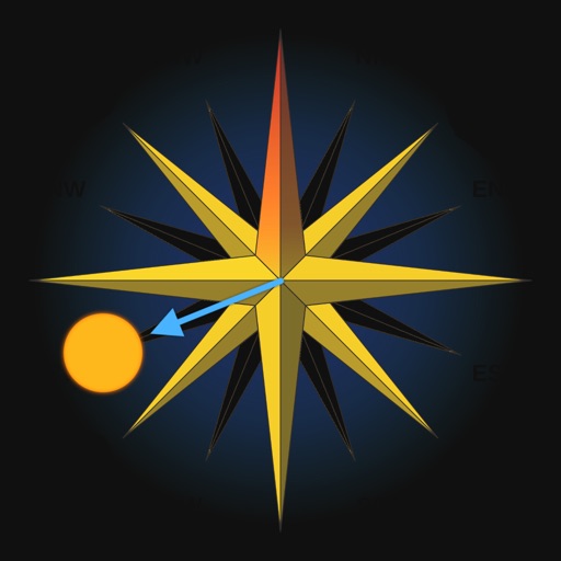
Navigate using the arrow
Display a floating arrow indicating the direction to Sagittarius A, the supermassive black hole at the center of the Milky Way. Update direction based on time of day, location, and Earth's orbital position.
Sean Flanagan
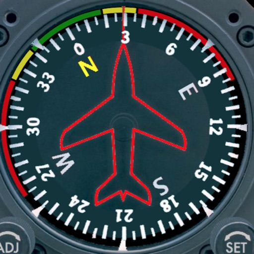
Track with realistic indicator
Displays a photorealistic -style indicator with both analog and digital readouts. Users can toggle rotation lock, simulate the instrument indoors, and view improved graphics. Supports latest iOS versions and includes bug fixes.

DC Cloud Apps, LLC
View topographic offline
View topographic of the United States with options for standard or hybrid map sources. Download for offline use and track current location on the map. Navigate using map features and explore terrain details for outdoor activities.

Simple Start Technologies
Navigate with real-time accuracy
Navigate with a digital that provides real-time direction. Set and track location markers. Adjust settings for accuracy. Personalize appearance with themes and styles. Share coordinates and routes.


Apps are ranked by functional similarity, category fit, rating confidence, and popularity.