
Apps Like Elevation Logger for iPhone and iPad
Elevation Logger screenshots
Ranked alternatives
Showing 181–200 of 1,000 ranked alternatives.

Redpoint: Bouldering, Climbing
riedel.wtf apps S.L.
Track climbs and boulder sessions automatically
Track and bouldering sessions automatically using iPhone or Apple Watch. Log climbs with details like height, heart rate, and duration. Store workout data in HealthKit for visibility in Health and Workouts apps.


Slid: Strava Video & Stats
serg tsarikovskiy
Create videos from or Health activities
Create videos from or Health activities with customizable styles and route highlights. Add photos to emphasize routes. Generate videos quickly to relive workout experiences.

GOLFTEC
GOLFTEC Enterprises LLC
Track yardage and analyze your swing
Track golf performance with on-course GPS for accurate yardage and distance measurements. View detailed course maps with adjustable distances and club recommendations. Access coach strategies and infographic overlays for improved play analysis.

COROS
COROS Wearables Inc.
Track daily data and activity summaries
Track daily data including sleep, steps, and calories. View activity summaries for all recorded sports. Manage maps, routes, and saved locations on the explore page. Customize watch settings and profile.


Wall Pilates by Fit & Lean
At team LLC
Train with resistance, elevate your moves
Perform exercises using a for resistance and elevation. Follow guided sessions to target glutes, legs, back, waist, hips, and abs. Improve muscular endurance, posture, balance, core strength, and flexibility.

5k Run- Couch Potato to 5K
Rumble Enterprise
Train for 5k races with plans
Log workouts and track progress. Set personalized 5k training plans. Monitor heart rate and pace. Receive real-time feedback and coaching. Sync with fitness devices. View performance analytics and adjust training intensity.

Fitmeter Run - GPS Tracker
Volker Schueppel
Track runs with real-time GPS data
Track running sessions with GPS to display real-time position, distance, and route on a map. Monitor duration, pause times, and current pace. View fastest mile and altitude changes with uphill/downhill indicators.

Video Chat Share - BeBe
Liaoning Xinyang Aquatic Product Technology Co., Ltd.
Plan group rides and routes
Document and motorcycle rides with photos, videos, and route maps. Join or plan group rides, real-time locations, and stay connected with other riders. Track ride details and save memories for later review.




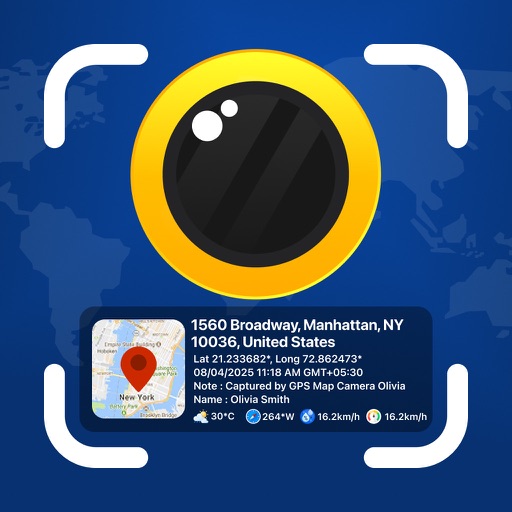
GPS Map Camera - Geotag Photo
Sejalben Nimeshkumar Savaliya
Photos and videos with GPS
Photos and videos with real-time location, date, time, latitude, longitude, altitude, and weather data. Capture timestamps during拍摄. View map-based location pins for each media file. Export geotagged files with embedded metadata.


How we rank alternatives
Apps are ranked by functional similarity, category fit, rating confidence, and popularity.