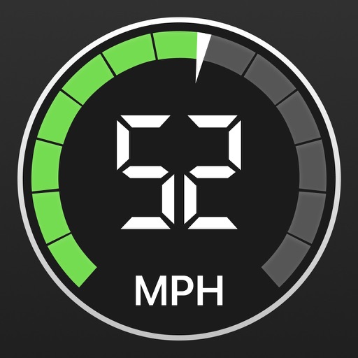
Display current speed using GPS and show speed limits via online checks. Alert when exceeding speed limits. Track weather, temperature, odometer, altitude, and average/max speed.
by Unicom TOV★ 4.3779 ratingsUtilitiesFreeData updated 2026-09-13
Track speed, distance, elevation gain, and calorie consumption during rides. View real-time progress and set training goals. Sync data with smartphone or ROX GPS Bike Computer. Share achievements with friends or social media.
Calculate prayer times during flights using waypoint coordinates and altitude. Determine prayer times en route with ground speed and track data. Sync with flight plans for accurate timing.
Monitor real-time network speed and status. Display available storage and memory. Track cellular and WiFi traffic. Show daily and monthly data usage with optional premium features. Visualize system resources including CPU usage and IP address.
Provides 10-day forecasts with morning, afternoon, and evening details. Displays rainfall radar, temperature ranges, and perceived temperature. Shows wind force and direction, snowfall limits, and fog alerts.
Measure vehicle acceleration from 0-100 km/h and 100-200 km/h. Track quarter-mile times over 402 meters. Use built-in GPS and accelerometer for accurate data. Save and view speed and time logs. Share results via social media.
Measures roadway curve angles in degrees. Calculates combined effects of superelevation, vehicle roll, and lateral acceleration. Provides advisory speed recommendations for horizontal curves. Syncs with devices for data storage and analysis.
Create and display scrolling text for presentations. Control text speed and customize font and size. Support multiple scripts. Enable mirror mode for external systems. Share text content directly.
Track , route, and trip statistics with real-time GPS data. Monitor distance and performance metrics during drives. Record detailed travel history with precise location tracking.
Reader tool allows users to read and listen to books. Ruler tool measures length, breadth, and height of objects. Protractor tool measures angles of objects. Slope tool calculates the incline of structures. Activity track daily tasks and progress.
Use to view a digital overlay. Navigate using GPS for real-time directions. Check accuracy based on device sensors. Adjust orientation for precise navigation.
View runs and routes on a map with detailed altitude and speed data. Automatically record runs and lifts. Analyze routes using graphs and save activities to Apple Health. Earn trophies, save favorite locations, and export routes via email.
Trip miles using GPS by state or province. Log odometer readings manually for each state and record highways traveled. Note load drop locations and fuel stops to calculate MPG. Create and manage load manifests for each trip.