
Easy QTH Locator
Borys Buslovskyi
Locate QTH using GPS data
Displays QTH based on GPS, mobile network, or Wi-Fi coordinates. Shows Maidenhead grid squares for current location. Requires location services permission. Works offline.

Manage location data in the cloud
Manage location data in the cloud with real-time tracking and remote access. View maps, update coordinates, and share locations. Set permissions and receive notifications for location changes. Export data in various formats.
Showing 301–320 of 1,000 ranked alternatives.
Borys Buslovskyi
Locate QTH using GPS data
Displays QTH based on GPS, mobile network, or Wi-Fi coordinates. Shows Maidenhead grid squares for current location. Requires location services permission. Works offline.

John Kennedy
Explore celestial objects and track the night
Explore celestial objects with interactive star maps and detailed information. Identify constellations and planets. View historical and cultural facts. Set location-based sky views and track celestial events.

Mapgears Inc.
Locate yourself and explore destinations
Access real-time location data and digital maps of tourist sites. View official paper maps alongside digital navigation. Search for points of interest and get directions. Bookmark locations and share maps with others.

GORDON HOWARD ASSOCIATES, INC.
Track vehicles with GPS and maps
Track vehicle locations using GPS. View past location history on maps. Search by vehicle make, model, stock number, or VIN. Save individual vehicle details for easy access.

SmartWheels GPS, Inc
Track vehicles, view insights, manage accounts
Track vehicles in real time with maps and location updates. Receive driving insights like speed and route history. Manage multiple vehicles from one dashboard. Set alerts for geofences and unauthorized activity.

Brian Bach Mortensen
Track ships in real time and view
Track real-time vessel movements and access detailed maritime data. Search for ships by name, MMSI, or IMO. View ship details, photos, and voyage information. Customize maps with overlays to identify ports, shipping lanes, and navigation markers.

RESGRID LLC
Coordinate teams and track incidents
Track status and location in real time. Send and receive messages within the team. Update incident details and resource availability. Access maps and dispatch information. Share photos and files during operations.

Katrin Friedmann
Find contacts instantly and call them
Track members' locations in real time using GPS. Set up alerts for movement zones and receive notifications when someone enters or leaves a designated area. Share location updates with specific contacts.

Bearologics GmbH
Track location events with webhooks and notifications
Set up locations using geofences or beacons. Send webhooks upon entering or leaving a location. Receive notifications about event success or failure. Inspect HTTP responses and retry requests. Customize payload using request designer.
Buddy Preston
Track people by phone number
Track real-time locations using phone numbers. Set up alerts for movement or stay. Share locations with specific contacts. View historical location data. Receive notifications when someone arrives or leaves a location.

Zorion Graythorne
Share location with trusted contacts
Share real-time location with trusted contacts via mutual consent. Set visibility periods and receive alerts when someone arrives at a location. View maps and history logs of shared locations.

Bangladesh Police
Alert and share location
Send emergency alerts with location maps to nearby officers. Share real-time GPS data to help responders locate users quickly. Request immediate assistance in critical situations.

Vincent Neo
Identify cloud types in real time
Cloud identification uses device cameras to classify and identify cloud types in real time. Displays cloud names and characteristics. Offers educational information about cloud formations and weather patterns. Syncs with cloud observation logs.

Korkem Telecom
Track buses in Astana in real time
Displays real-time bus locations in Astana. View route maps and stop points. Receive notifications when buses arrive. Plan trips based on current schedules. Share location with others.
Andres Narvaez
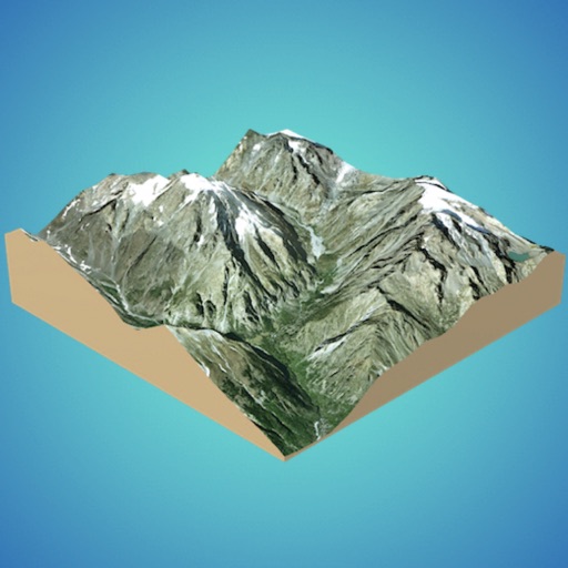
Generate 3D models from internet or cloud
Create 3D models from online sources like Bing Maps or local cloud points. Export data as CSV, TXT, STL, or OBJ. Modify models by cutting, scaling, and animating. Calculate surface areas and volumes in real-world units.
Sandy Masey
Track your ride with real-time GPS data
Track , route, and trip statistics with real-time GPS data. Monitor distance and performance metrics during drives. Record detailed travel history with precise location tracking.

Chin Kong
Track real- bus schedules and locations
Track real- MTA bus arrivals and departures. View route maps and stop locations. Receive alerts for schedule changes. Search for bus routes and plan trips. Share trip details with others. Sync with GPS for accurate timing.
Black Mountain Investment Group, LLC
Track data and navigate airspace
Track aircraft position using device GPS. View real-time data including altitude, speed, and heading. Access weather information and airport details. Set and monitor plans. Receive alerts for airspace changes and terrain obstacles.
Grameenphone Limited
Track car location and direction
Monitor vehicle location, orientation, and direction on an in- map. View real-time engine status, speed, RPM, and fuel consumption. Navigate to destinations without leaving the . Receive instant notifications for car incidents.
GWI JU JO
Coordinates via SMS and email
View real-time GPS coordinates and addresses without storing data. coordinates via SMS, iMessage, email, Facebook, WhatsApp, and other apps. Access maps screen to view visually. Display and generate Apple Maps or Google Maps links.
Apps are ranked by functional similarity, category fit, rating confidence, and popularity.