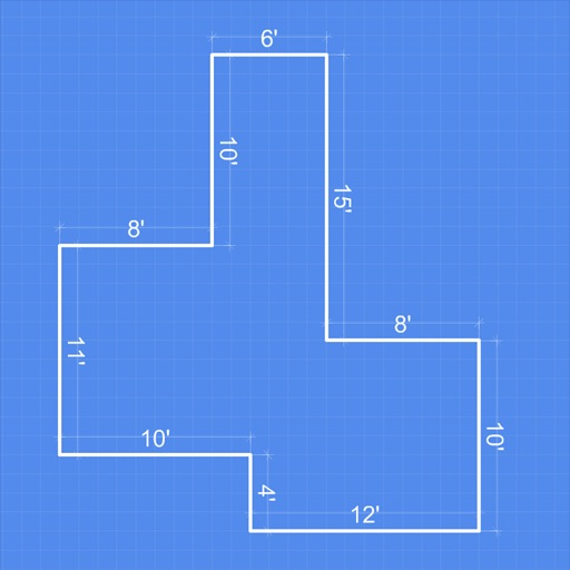
Measure distances by drawing routes on the map and calculating their length. Use a magnifier tool for precise line drawing. Switch between Move and Measure modes to set starting points or begin measurements immediately.
Room dimensions using augmented reality. Tap to mark points and view real-time 3D measurements for width, length, height, and distance. Export measurements and save data for future reference.
– uses AR to display a digital protractor and on the device screen. Users can precisely, calibrate the , and save measurements. The supports both indoor and outdoor use for accurate readings.
Land areas using GPS and map data. Draw boundaries with swipes to calculate plot size. Save and view measurements. Share results via email or messaging. Sync with other devices for accurate tracking.
Distances and areas on satellite maps. Select objects like lawns, roads, and buildings. Save and share measurements. Export data in various formats. Sync with other apps for project planning.
Track fermentation progress by importing density or refractometer measurements. Store data in customizable batches. Visualize trends over time. Export results for record-keeping. Sync measurements from EasyDens or SmartRef devices.
Calculate measurements with addition, subtraction, multiplication, and division. Convert between decimals and fractions. Display results directly on a visual interface. Mark precise positions without manual calculations.
Lengths and areas using your mobile device. Select from multiple measurement modes including point-to-point and area. Save screenshots or measurements for later. Change units of measurement as needed.
Arthur Eduardo Skaetta Alvarez Desenvolvimento de Software LTDA.
Distances and areas with GPS
Distances and areas using satellite images. Tap the map to add markers and calculate distances or enclosed areas. Search for addresses to locate measurement points. Support multiple units including square feet and square meters.
Create freehand artwork from real-life images using AR technology. , , and paint over live camera views. Add text and stickers to drawings. Export creations in multiple formats and share directly.
The app measures distance, area, and perimeter on a map using manual input or GPS tracking. It allows users to label, save, and share points in KML format, and check bearing and geo-coordinates.
Capture 3D scans using technology for architecture, engineering, and construction. Record scans quickly and view high-resolution models in real time. Export scans for use in projects. Sync with construction workflows.
Object dimensions using phone and reference objects like credit cards or DVDs. Snap photos for accurate in-plane measurements. Add custom reference objects with known sizes. Export measurement data for later review.
Track and share levels to crypto rewards. Monitor real-time data at various locations. Submit measurements to contribute to community data. Receive insights to find quieter spaces and make informed decisions.
Turn photos into drawings, cartoons, or sketches with one click. Apply various effects including black strokes, white strokes, pastel, and halftone. Adjust edge strength, opacity, contrast, brightness, and saturation.
Learn AI skills through video, animation, and电商 tutorials. Access 96000+ courses across 21 categories including design, software, and programming. Practice with source files and project-based learning.