

Apps Like Fells for iPhone and iPad
Fells screenshots
Ranked alternatives
Showing 61–80 of 1,000 ranked alternatives.



We Maps 04 | 3D + 2D World Map
Makoto Katsumata
Explore with 3D and 2D views
View 3D and 2D side by side. Tap or hold to specify locations. Adjust 3D map angles. Search for addresses and locations. Use compass and GPS. Access real-time traffic data. Switch to full screen. Search Wikipedia. Control map zoom from Apple Watch.


Diving logbook-Dive Number
Denys Dykusha
Log dives, track entries, and record details
Track dive details including date, dive , and location. Select dive sites from a map with a comprehensive database. Log entries with unlimited entries. Set starting dive in settings. Record depth, time, and other parameters.


Philippines Fish ID
John P Hoover
Identify by name and color
Identify species through photos and descriptions. View details by color, shape, or name. Switch between basic and advanced modes. Log sightings in a digital log book. Access up to five images per species showing variations.

Earth Maps
FOXPOI PTE. LTD.
View locations with satellite imagery
View high-definition 3D globe and latest satellite imagery. Load map tile data for detailed terrain and urban features. Use oriental compass for direction. Access historical street view for past locations. Measure area and distance on .

SkyCrew - Airlines Roster
SkyCrew FZE
Browse, schedule, and sync flights
Manage monthly airline schedules with . View details, assign crew members, and integrate with AIMS rostering platform. Browse flight dates, track assignments, and update schedules directly. Sync with e-Crew system for real-time data.

Atlas Bourgogne
IMPRIM.SEPIA ART ET CARTOGRAPHIE
Explore Burgundy's 1463 climates.
The app presents interactive maps of Burgundy's 1463 climates, detailing terroirs and wines. Users can explore maps covering the Côte de Beaune, Côte des Nuits, and other Burgundy regions, and search for specific terroirs.


MyNetstar
NETSTAR (PTY) LTD
Track vehicle location and manage fleet accounts
Vehicle tracking allows real-time location monitoring on an interactive map. Users can manage accounts, access documents, and contact support. Fleet management features include tracking vehicle status and receiving alerts.

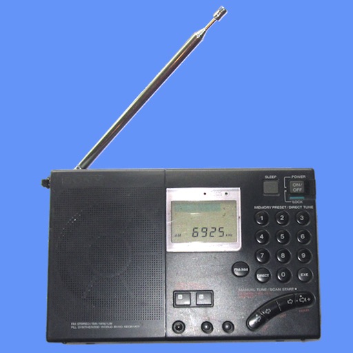
Shortwave Broadcast Schedules
Black Cat Systems
Access for and longwave stations
View for 11,000 longwave, mediumwave, and stations. Filter by frequency, time, language, or station name. Check current broadcasts and search for specific stations. Export and set alerts for station availability.

dBrief — Pilot logbook
dBrief, LLC
Log entries for GA pilots
Log flight details quickly with auto-filled aircraft data and smart entry. Track time, add notes, and export logs. Import past flights from a dedicated website. View and manage flight records efficiently.

TerraCam: GPS Satellite
Oanh Hoang
Capture photos with GPS location
Capture photos with GPS, date, and time tags. View live cameras from various locations. Explore 360-degree panoramic images. Navigate using an interactive 3D Earth map. Check real-time traffic and travel updates.

CONNECT - CrewLounge AERO
Aviovision N.V.
View schedules and upload rosters
View schedules offline and manage time. Share schedules with colleagues across companies. Allow friends and family to track flights. Upload roster files manually. Works on iPhone, iPad, and Apple Watch.
How we rank alternatives
Apps are ranked by functional similarity, category fit, rating confidence, and popularity.