

Apps Like Forest Watcher for iPhone and iPad
Forest Watcher screenshots
Ranked alternatives
Showing 321–340 of 1,000 ranked alternatives.


GPS Map Camera Geotag Location
Nikhil Viradiya
Tagline
Photos with GPS data including , time, weather, and compass. Share geotagged photos with contacts. Add map markers, latitude, longitude, and altitude to images. Stamp photos with date and time. Sync data with captured photos.

geoportail.lu
Administration du Cadastre et de la Topographie
Luxemburg's official topographic mapping app.
The app provides access to topographic maps, aerial photos, and cadastral parcels for Luxemburg. Users can search for places, choose from over 100 data layers, and share maps.


Touch GIS
Polymath Studios LLC
Collect data, map fields, transfer files
Collect and map field data with customizable forms and attributes. Capture data offline or online. Transfer data to desktop GIS platforms. Edit and manage attributes directly in the field. Sync data with preferred GIS software.


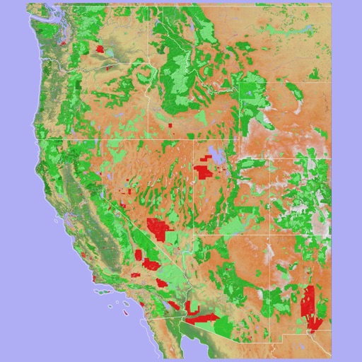
Scenic Map Western USA
Mark Granger
Explore 3D maps offline worldwide
Navigate using a 3D topographic map of the USA and Hawaii. Access offline vector maps for navigation in vehicles or outdoors. Switch to online maps for global coverage with automatic caching. Explore locations with zoom and scroll features.


Field Area Measure+
Arda Sen
Measure land, map areas, record coordinates
Measure distances, perimeters, and areas by placing pins on a map. Calculate dimensions and save measurements. Share results via email or export as a file. Sync with other devices for collaborative projects.



Traccar Manager+
Sergey Kruzhkov
Track devices, view maps, manage alerts
Manage GPS tracking devices through a mobile connected to a server. View real-time locations, set geofences, receive alerts, and track device status. Add or remove devices and configure settings remotely.

Sales Route Planner - RepMove
Accomplish Sales LLC
Plan daily routes and manage stops
Plan daily routes by adding stops and optimizing order. Use turn-by-turn navigation for efficient travel. Visualize accounts on a map to plan territories and optimize multi-stop routes.


GPS Field Area Measurement
Stephen Kuyper
Measure land , distance, and perimeter
Measure land , distance, and perimeter using real-time GPS. Mark points on a map to calculate fields, plots, and paths. Switch between and distance modes. Supports units like acres, hectares, and square feet. Save and export data.
How we rank alternatives
Apps are ranked by functional similarity, category fit, rating confidence, and popularity.