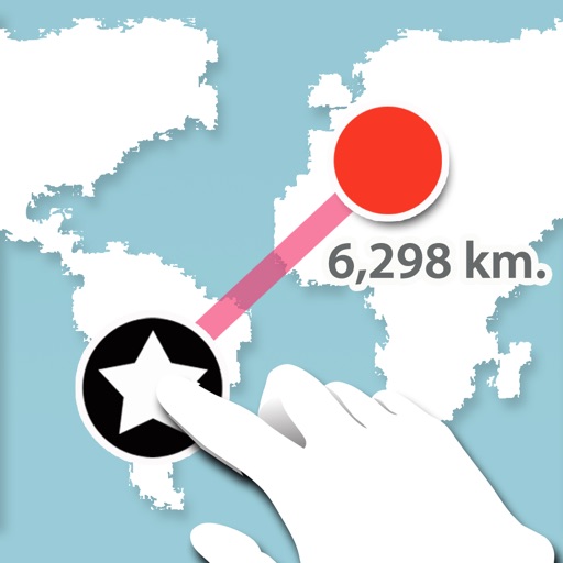
MapPoint
Narong Aunthee
Measure distance between two points.
The app measures the distance between two points on a map. Users press and hold the screen to create points and view a distance summary.

Showing 421–440 of 1,000 ranked alternatives.
Narong Aunthee
Measure distance between two points.
The app measures the distance between two points on a map. Users press and hold the screen to create points and view a distance summary.

OFFLINE MAP TRIP GUIDE LTD
Navigate and find locations
Provides maps for navigation without internet connection. Displays detailed vector maps with continuous updates. Helps avoid roaming charges by using local data. Allows zooming at any level for precise location tracking.




ScanTrust SA
Scan products and verify authenticity
Scan products with a secure QR code to verify authenticity. Check product details and manufacturer information. Confirm genuine status before purchasing. Share verification results with others.


Tigran Mkhitaryan
Track speed and distance with GPS
Monitor speed and distance with real-time GPS tracking. Switch between car and bike cyclometer. View average and max speed. Adjust units to mph or km/h. Check GPS accuracy and distance precision. Track time elapsed and altitude.


FB Imray Laurie Norie & Wilson GmbH
Plan routes and track your journey
View and navigate nautical charts for sailing, diving, and fishing. Plan routes and create waypoints. Share tracks with others. Subscribe for updated chart data. Access technical support via email.

Colin Porteous
Plan routes with waypoints and calculate true
Create passage plans by selecting waypoints from a database. Calculate true course and distance. Automatically determine magnetic variation and derive magnetic heading.
iRead Solutions Inc.
Calculator technology that enhances productivity.
The app offers traditional calculator functions with added vision capabilities. Users can scan live or use pictures to input numbers, define formulas, and access a smart history log with totals.

Trelleborg Marine Systems Denmark A/S
Professional maritime piloting software from Trelleborg.
The app provides navigational data and chart display with multiple orientations. It supports S-57 and S-63 Charts and includes a vessel database for logging handled vessels.

Apps are ranked by functional similarity, category fit, rating confidence, and popularity.