

Apps Like Barometer & Altimeter & Thermo for iPhone and iPad
Measure pressure and track altitude
Measure atmospheric pressure and altitude using built-in GPS and pressure sensor. Automatically calibrate readings with local meteorological station data. Display current pressure and elevation levels. Save historical data for reference.
Barometer & Altimeter & Thermo screenshots
Ranked alternatives
Showing 461–480 of 1,000 ranked alternatives.


Weather + Radar: NOAA Rain Map
Yuriy Sinchuk
Track and forecast minutes ahead
View real-time precipitation data globally using an interactive map with combined radar sources. Access minute-by-minute updates for temperature and rainfall intensity. Obtain detailed hourly and 10-day forecasts.

Attenuator
Tim Burrow
Calculate output voltage and power after attenuation
Calculate output voltage, power, and attenuation based on input voltage and dB loss. Specify impedance for accurate results. Convert between Watts, dBm, and dB values. Calculate NMR pulses using reference power and pulse length.


CirrusSense (Presure Pro)
transducers direct llc
Modernize pressure monitoring anywhere, anytime.
The app provides wireless pressure monitoring using a smartphone or tablet. Users receive status feedback, maintenance reminders, and can set threshold alarms and data logging intervals.


Jetting for Yamaha YZ 2T bikes
Ingenieria del Software ISEnet S.L.
Tune carb settings for 2-stroke
Configure carb settings for 2-stroke like PW 50, PW 80, YZ 65, and others. Input temperature, altitude, humidity, atmospheric pressure, and oil-mix ratio to receive recommendations. Use GPS to fetch real-time weather data for accurate adjustments.

PerfExpert - Car Dyno HP Test
Claude JOSEPH ANGELIQUE
Measure car power and torque with acceleration
Measure a car's engine power and torque with 2% accuracy using acceleration tests. Track 0–60 mph and 0–100 km/h times. Compare performance before and after tuning or upgrades. Export data for analysis.

PassWarrior - Idaho
Doug Fales
Track road conditions and locate cams
Track road conditions and weather in real time. Locate nearby cameras and view live timelapse videos. Check winter driving conditions, construction zones, and incidents. Access weather sensor data and filter camera sites by location or road name.

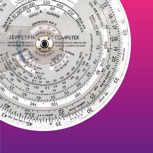
FlightCALC-HD
Felix Steger
Altitude, speed, temperature, wind, turns.
The app performs altitude, speed, temperature, wind, and turn calculations. It includes unique calculations for bank, radius, and acceleration, along with various wind computations.


Transparent Elevation
ASS Ltd.
See altitude with chosen background.
The app displays current altitude and saves it with a chosen background image. Users can share these images instantly on social media platforms.


Ultramagic FlightPack
Ultramagic, S.A.
Track flights with offline maps and weather
GPS track with color-coded altitude layers to identify wind patterns. Crew members view real-time flight tracking on a webpage. Includes offline maps, weather forecasts, load calculations, and a flight logbook.

Units: Fast & Pro Converter
Rajendran Sajith Sajindran
Convert with precision and speed
Convert across 20 categories including length, weight, temperature, and more. Perform real-time conversions with 8-decimal precision. Switch between metric and imperial systems. Use scientific notation and dark mode.

SimFly Pad
Chongqing SeeingSky Network Technology Co., ltd
Use flight checklists and camera tools
Access flight checklists to manage pre-flight, in-flight, and post-flight procedures. Capture and record flight moments using the built-in camera. Sync photos and videos to the cloud for storage.
How we rank alternatives
Apps are ranked by functional similarity, category fit, rating confidence, and popularity.