

Apps Like MARVLIS PSAP Monitor for iPhone and iPad
MARVLIS PSAP Monitor screenshots
Ranked alternatives
Showing 81–100 of 1,000 ranked alternatives.


Military Compass+ Lite
Elen Bekzadyan
Track orientation with real-time compass data
Provides real-time device orientation based on magnetic fields. Allows switching between true and magnetic north. Displays compass direction and azimuth. Includes declination information. Offers tilt sensitivity settings.

NOAA Weather Radar
Christopher Coudriet
Get alerts and track forecasts
Receive alerts pushed directly to your device from the National Service. View real-time imagery and scroll through live system thumbnails. Access data and track storm movements across multiple devices.

iSpyMobile
iSpyFire, Inc.
First responders get vital emergency data.
The app provides first responders with data and information for emergency response. It offers features like call notification, location, and map layers for fire, police, and EMS agencies.

TBL Universal Reporting
Thin Blue Line Reporting, LLC
Create reports and sync to cloud
Create and submit reports such as warnings, citations, crash reports, field interviews, and general entries. Sync reports to the cloud. Access location services for background and planning. Ensure compliance with CJIS and FIPS standards.
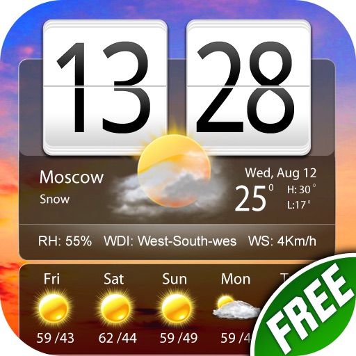
Free Live Weather Clock Pro
小龙 傅
Live weather reports and world clock.
The app provides weather reports for over 5 million cities, including a four-day forecast. It displays current weather conditions with dynamic backgrounds and includes a world clock with voice alerts.

Map Distance Measurement
SHIGETO TAKAGI
Measure with GPS
Record and display GPS-based measurements with a map line. Share results on social media. Obtain current location via GPS. Option to minimize battery use without GPS. Does not run in the background.


Vitruvi
Fresnel Software Corporation
Share project data in real-time
Manage project data with real-time updates on design and as-built information. Track construction progress and sync with schedules, budgets, and financial records. Share inventory requirements and update resource information across teams.


iGIS
Geometry
Mobile GIS functionality for the iPhone.
The app provides GIS functionality on the iPhone. Users can load, view, investigate, create, and export their own data over map service imagery.


SolarEdge Mapper
SolarEdge Technologies Ltd
Map physical layouts for new systems.
The app streamlines new system registration by mapping physical layouts within the SolarEdge platform. It allows for onsite creation, editing, and verification of system layouts, including scanning and assigning power optimizer serial numbers.

The GPS App
BJC, LLC
Capture coordinates and export data
Capture GPS coordinates with a simple interface. Add descriptive notes to each location. Export data in multiple formats. Sync with Geographic Information Systems for mapping and analysis.


How we rank alternatives
Apps are ranked by functional similarity, category fit, rating confidence, and popularity.