Navigate with turn-by-turn directions using Google Maps or Mapbox. Play music from Apple Music or Spotify with large buttons. Listen to podcasts online or offline. Customize themes, button layouts, and colors.
Plan and navigate boating trips with real-time tracking and high-resolution digital charts covering the US, Europe, and other regions. View vector charts with tappable buoys and lights. Pan and zoom seamlessly across maps.
Explore trails with detailed descriptions, photos, and difficulty levels. Use offline GPS navigation for route guidance. Receive real-time alerts for trail closures and weather changes. Export routes in GPX format for use with other apps.
Monitor indoor climate with real-time temperature, CO₂, and humidity data. Receive smart warnings. View detailed measurements and interactive charts. Customize widgets and use full Apple Watch support. Track rain gauge data.
Track real-time vessel movements and access detailed maritime data. Search for ships by name, MMSI, or IMO. View ship details, photos, and voyage information. Customize maps with overlays to identify ports, shipping lanes, and navigation markers.
Receive critical weather alerts that bypass Do Not Disturb settings. View current conditions, hourly forecasts, and extended weather predictions. Access local and regional radar imagery. Track storm developments with StormWatch+ features.
Receive emergency alerts for life-threatening and emerging situations. Set location-based alerts and use the "Follow Me" feature for real-time updates while traveling. View alert areas on a map and share alerts directly.
Track real-time UV index based on your location. Customize sessions using your skin type and goals. Set reminders for safe times. Monitor progress with session history and skin analysis. Adjust exposure duration for optimal results.
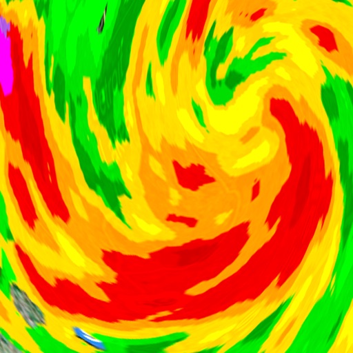
Monitor severe with real-time and storm signatures including vortex, hail storm, and damaging wind indicators. Access reports on tornadoes, severe hail, and damaging winds.
Plan trips to parks with downloadable and guides. Access 100+ parks, 290+ from federal agencies, and 3,000+ campgrounds. View Motor Vehicle Use and visitor for national forests.
Plan routes with -specific GPS directions to avoid low bridges, restricted roads, and tight turns. Set speed limits and weight restrictions. Track vehicle location and fuel efficiency.