iMapIt Pro
Marcus B B E Silva
Map, measure, and record places.
The app collects geographic coordinates using the device's GPS. It maps points, lines, and areas, measuring them in various units.

Showing 181–200 of 1,000 ranked alternatives.
Marcus B B E Silva
Map, measure, and record places.
The app collects geographic coordinates using the device's GPS. It maps points, lines, and areas, measuring them in various units.

Sebastien BIERO
Set markers offline with details
Create and manage markers with custom titles, descriptions, dates, colors, icons, and images. Move markers freely on the map. Organize them into folders. Search and browse markers via a text-searchable list.


Alvaro Maroto Conde
Track location, speed, and altitude
Displays current course, speed, altitude, coordinates, orientation, and weather using GPS and compass. It includes advanced bookmarking, Street View, and live Flyover mapping features.



TECHISTIC LTD
Track , distance, and performance
Track , distance, and performance with real-time GPS data. Display in mph and km. Log trips and view historical records. Set alerts and monitor journey details. Sync data across devices for ongoing performance analysis.


0NUR ORHAN
Objects, track distances, align surfaces
Objects with a digital ruler, measuring tape, and level . Calculate feet and inches with conversion calculators. Use laser level for alignment. Export measurements and share results.

Guillaume Fleury
Track speed, distance, and route in real
Track cycling speed, distance, and route in real time. Choose from three display modes: digital, analog, or map. View ride history and manage past rides. Automatically stop the timer when movement stops. Swipe to navigate between screens.

KIET NGUYEN TAN
Track , share , land areas
Track real-time and share it with friends. Copy coordinates and perform actions on . land area using GPS and calculation tools. Find routes with distance and direction calculations.


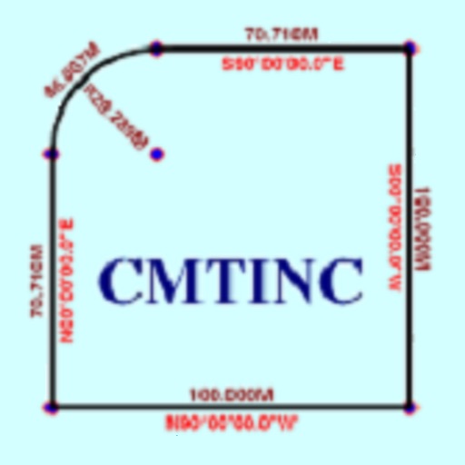
Corvallis Microtechnology, Inc.
Convert property descriptions into maps.
The app converts real property descriptions into boundary maps. Users enter angles and distances to draw property boundaries, displaying closure error, total area, and perimeter.

Marcus B B E Silva
Map, measure, and record places.
The app collects geographic coordinates using the device's GPS to map, measure, or record important places. Users can mark specific points, record lines or paths with measurements, and define areas or polygons for land or building outlines.
Apps are ranked by functional similarity, category fit, rating confidence, and popularity.