

Apps Like iEFIS Pro for iPhone and iPad
iEFIS Pro screenshots
Ranked alternatives
Showing 61–80 of 1,000 ranked alternatives.

Airmate
Myriel Aviation SA
Plan flights, track weather, view maps
Plan flights with detailed weather data, airport information, and NOTAMs. Overlay georeferenced charts on aviation maps. Access IFR and VFR plates for over 200 countries. Manage and download airport plates in advance.

Earthquake Alert - Seismic
婷 张
Monitor earthquakes and track real-time data
Monitor earthquakes with real-time updates and GPS compass maps. Display professional data including altitude, orientation, air pressure, and coordinates. View environmental metrics like humidity and temperature.


GPS Diagnostic: Satellite Test
David Ryall
GPS, track location, diagnose issues
Provides GPS navigation with fast lock time and precise parameters. Supports multiple systems including GPS, Galileo, GLONASS, and QZSS. Diagnoses location issues and suggests fixes. Includes latitude, longitude, and WGS84 by default.

iFly EFB
Adventure Pilot, LLC
Affordable capability for VFR IFR pilots.
The app offers VFR and IFR pilots an affordable, capable, and usable electronic flight bag. It provides pilots with necessary information for safe flight, featuring an intuitive interface and pilot-focused support.

Measure Angles - Bubble Level
WHATSTICKER APPS SRL
With a digital protractor
– uses AR to display a digital protractor and on the device screen. Users can precisely, calibrate the , and save measurements. The supports both indoor and outdoor use for accurate readings.

MapCompass : Compass with Maps
Bhavik Savaliya
Navigate GPS and digital
Use to view a digital overlay. Navigate using GPS for real-time directions. Check accuracy based on device sensors. Adjust orientation for precise navigation.

A-EFIS Black and White
Charalampos Baltzakis
Navigate with sensor-based accuracy
Navigation provides real-time positioning using iPhone/iPad sensors. Displays maps and routes. Offers -and- interface. Uses digital filtering and stochastic models for accuracy. Only functions in airplanes.



Altimeter Pro - Elevation
dataWorks GmbH
Navigate with altitude and accuracy
Displays altitude, coordinates, and speed with options for metric or imperial units. Shows accuracy and warns about signal issues. Offers aircraft mode with in feet. Compares current altitude with known values. No ads or data collection.

Speedometer - Real Time
Mark Dietrich
Track speed
Track speed in using units like meters per second, miles per hour, and kilometers per hour. Display speed in English or Spanish. Allow users to request additional language support.
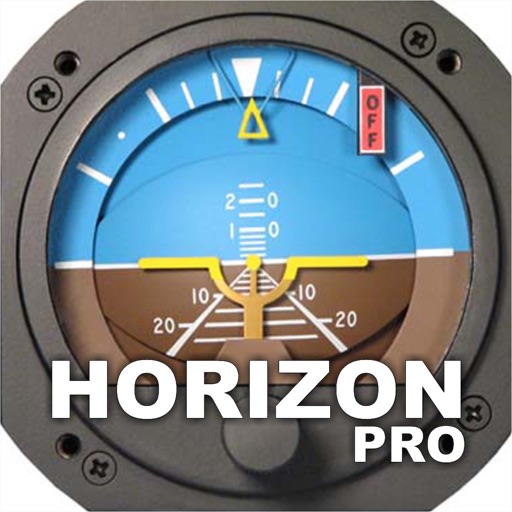
Horizon Pro
Jose Pedro Carlos & Cia Ltda
Navigate with magnetic heading information.
The app provides magnetic heading, altitude, speed, and flatness information. It utilizes the device's technological resources for operation and precision.

Altimeter ∞ Elevation GPS
Chen-Yu Wei
Track with GPS precision
Track in meters or feet with real-time updates. Display GPS accuracy and battery usage. Works offline with a clean interface. Ideal for hiking, flight tracking, and outdoor activities.

AHRS Utility
Levil Technology
Configure Levil devices and display data.
The app configures Levil devices and displays AHRS data. It shows graphical and numerical data from Levil AHRS devices, excluding iPad/iPhone internal gyros or GPS data.


VatScope
文俊 周
Track pilots, airports, and flights
View VATSIM network data including pilots, controllers, and airports. Track users and friends. Display flight routes and weather information. Access event details and member certificates. Support dark mode with no ads.


How we rank alternatives
Apps are ranked by functional similarity, category fit, rating confidence, and popularity.