Measures atmospheric pressure, altitude, and temperature using device sensors. Displays real-time readings and historical data. Alerts for pressure changes. Syncs with weather services for forecast updates.
Track jumps using an accelerometer-equipped device attached to the thigh, waist, or arm. Count jumps with or without grasping the . View real-time counts and receive spoken updates. Fix bugs related to crash and display issues in recent updates.
A that displays magnetic and true north. Switch between modes. Rotate map for directional reference. Includes for altitude measurement on compatible devices.
Lengths and areas using your mobile device. Select from multiple measurement modes including point-to-point and area. Save screenshots or measurements for later. Change units of measurement as needed.
Create 3D room models with accurate scaling for immediate measurement or later review. Capture point-to-point measurements with two taps. Use Smart Level to align picture frames and artwork automatically.
Track in meters or feet with real-time updates. Display GPS accuracy and battery usage. Works offline with a clean interface. Ideal for hiking, flight tracking, and outdoor activities.
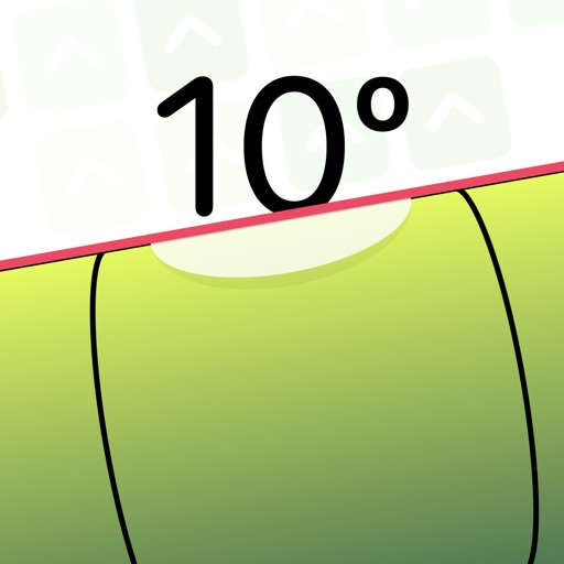
Measure device angle with a . Tilt the device to see current angle. Reset and lock the angle manually. Switch between portrait, landscape, and surface modes.
Tap to measure BPM by syncing with the beat of music. Calculate using advanced algorithms. Save and share BPM results. Ideal for musicians, producers, and DJs.
-activated allows users to start, stop, reset, and lap measurements using commands. It provides split time tracking and displays elapsed time. However, it may have timing inaccuracies due to recognition delays.
Measure altitude using barometric pressure and GPS data. Display altitude in feet and meters with real-time accuracy. Calibrate sensor and switch between day and night display modes.
Browse privately, zoom easily, clear history automatically
Browse privately with no history or tracking. Use full screen mode for control. Adjust zoom easily. Reset all data with "Burn Everything." Open 5 tabs with a single tap. Lock the to prevent unauthorized access.
Provides a 3D floating with realistic OpenGL graphics. Users can switch between nine modes, including direct read, traditional, and rosette styles. It displays degrees, quads, or mils.
Track speed, distance, altitude, and GPS position during or running. Record and save routes on a map. View detailed statistics for activities like hiking or trekking. Mark and replay recorded routes. Set and monitor performance goals.