The app functions as a geological compass for geologists, measuring dip direction and angle of geological strata. It displays real-time device orientation in a stereographic projection and allows data transfer to a computer.
Measure and map 3D terrain with X, Y, and Z coordinates. Save, email, or upload data to CAD. Calculate slope percentages and elevation above sea level. Include photos with location data and use built-in compass for accurate orientation.
Track elevation and climb rate in real-time. Calibrate altitude settings and check GPS accuracy. Send location links via SMS for easy sharing and navigation assistance. View maps in web browsers for location tracking.
The app offers a simple and clean interface with intuitive tools for pixel art creation. It features freehand drawing, lines, boxes, ellipses, and flood-fill, along with gesture controls for precise editing.
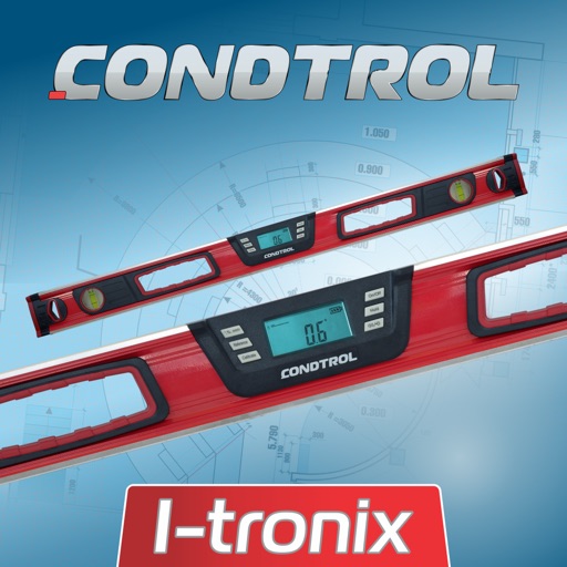
The app measures angles and inclinations for various applications. It can be used for home decoration, car inclination checks, and measuring slopes of roofs, stairs, floors, or roads.