Apps Like Map Area Calculator - Marea for iPhone and iPad
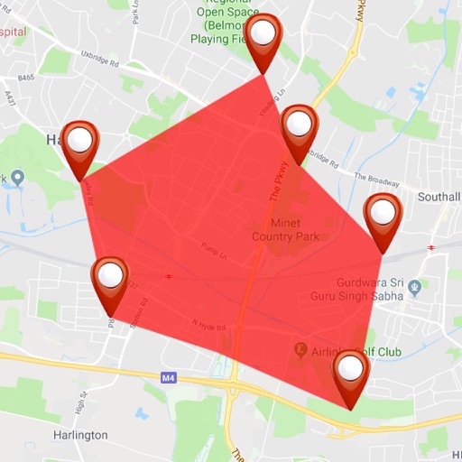
Calculate from coordinates
Calculate using coordinates with options for square meters, feet, acres, hectares, kilometers, and miles. Measure distance between points. Premium users can save areas, add notes, attach images, and calculate prices based on values.
by Applorium Ltd★ 4.54,729 ratingsNavigationFreeData updated 2026-09-12
The app measures land area, perimeter, and distance using GPS, manual input, or a mixed approach. It displays measurements in various units and allows saving, editing, and exporting plans in KML or DXF formats.
Calculate material quantities for landscaping projects by entering dimensions and selecting materials. Generate take-offs for gravel, soil, mulch, and concrete in cubic yards or meters. Export estimates and track project costs.
Create plans by measuring spaces with your camera and augmented reality. Save plans as image, PDF, or SVG. Edit plans, add notes, and calculate square footage. Works on ARKit-enabled devices.
Measure areas using map, GPS tracking, or AR. Draw shapes on the map for rough estimates. Track GPS routes for precise measurements. Use AR to measure rooms or objects by placing virtual markers. Export results and share data.
View high-definition 3D globe and latest satellite imagery. Load map tile data for detailed terrain and urban features. Use oriental compass for direction. Access historical street view for past locations. Measure area and distance on .
The app converts coordinates to UTM EGSA87 Datum and calculates polygon area in square meters. It sends measurements via email in DXF, KML, or TXT file formats for use in various applications.
Change by dropping pins on a map. Edit GPS coordinates and add custom elevation data. Spoof with photo capture and share fake locations that appear real. Save unlimited custom spots and export as KML files.
Calculate dimensions, convert units, and perform angle and rafter measurements. Estimate material quantities and layout stairs. Input measurements for precise calculations. Save and reuse formulas for repeated tasks.
Find homes for sale using GPS, address, or zip code. Refine searches by price, bedrooms, bathrooms, lot size, and square footage. Save search criteria to revisit later. View detailed property listings and contact agents directly.
Measure land , distance, and perimeter using GPS and satellite maps. Define boundaries by placing points or walk the perimeter for hands-free tracking. Save and export measurement data for professional use.
Measure land area, perimeter, and distance with precise calculations in feet, inches, yards, or feet. Display multiple plots on a map with intermediate distances. Overlay French land registry data for accurate plot measurements.
Scan documents and images for precise digital copies. Measure heights and object dimensions using phone camera. Automatically count items like pipes, logs, and pills. Save and share scanned files directly.
Create and manage markers with custom titles, descriptions, dates, colors, icons, and images. Move markers freely on the map. Organize them into folders. Search and browse markers via a text-searchable list.
The app allows users to crop photos into a square shape for posting on Instagram. It supports both landscape and portrait orientations and offers various background options and effects.
Estimate volume for a given area. Calculate required ready-mix bags. Input dimensions to determine quantities. Provide clear results for construction planning.
The app calculates surface areas, fields, plots, and dimensions for various field work needs. It measures distances, perimeters, and areas with precision over satellite images.