Apps Like ArcGIS Runtime SDK Samples for iPhone and iPad
Explore maps, create layers, interact
Explore maps, layers, and features with interactive . Create and save maps. Display vector and raster data. Work with feature layers and geodatabases. Add, delete, and edit features and attachments. View code for each sample.
by ESRI★ 4.710 ratingsEducationFreeData updated 2026-09-12
Explore exhibits through interactive gallery maps and detailed artifact descriptions. Locate nearby locations using GPS. Learn about historical treasures and collection highlights without visiting in person.
The app offers a simple design with a fast audio engine for creating music. It includes 21 royalty-free drum loops and has a zero learning curve for immediate use.
The app calculates molarity, converts between grams and moles, and computes dilutions. It features slider-controlled SI-prefixes with automatic value adjustment and allows switching molecular weight between Dalton and kilo-Daltons.
Track soil microbial biomass and fungal-to-bacterial ratios using smartphone-connected tests. Input data to analyze soil health trends. Receive alerts for changes in microbial activity. Compare results over time to evaluate management effectiveness.
The app helps children learn continents and oceans through audio and interactive puzzle maps. It features three puzzle types and is co-developed with a Montessori teacher.
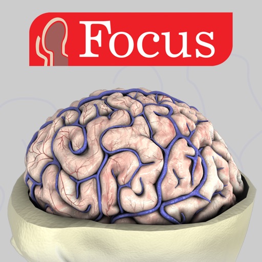
Explore 3D anatomical structures with interactive animations and detailed labels. Navigate through dissection layers and anatomical planes. View clinical manifestations and apply 3D animations for educational understanding.
The app provides a portal to University of Cincinnati information. It offers news, events, maps, shuttle routes, athletics, dining, safety, emergency information, libraries, directories, courses, schedules, and social media connections.
Plan classes and view campus maps. Check financial aid status and access important updates. Stay informed with timely notifications and manage academic schedules.
Access event schedules, speaker bios, and exhibitor details. Receive alerts and notifications. View venue maps. Customize your personal program schedule.
Provide detailed sky maps for telescope and binocular users. Display 18 covering the equatorial region and polar areas. Show stars down to sixth magnitude, including double and variable stars. Include constellation boundaries and deep-sky objects.
Access the full schedule for upcoming events, view facility maps, and receive news and updates. Navigate the campus, track speaker information, and stay informed about activities and changes.
Track crop data and compliance details in real time. Sync field data with the web offline. View and update crop insights, manage compliance tasks, and access field notes. Share data with team members and receive alerts for important updates.
Manage crop data and compliance with real-time field updates and offline access. Track grower details, farms, and fields. Sync data seamlessly across devices. View agronomy insights and manage planting schedules.