

Apps Like Trek2There for iPhone and iPad
Trek2There screenshots
Ranked alternatives
Showing 41–60 of 1,000 ranked alternatives.

Qibla +
Abdulelah Hajjar
Find direction accurately
Find direction based on true north. Display compass and direction indicators. Support English and Arabic languages. No advertisements. Lightweight and simple interface for easy navigation.

Satellite Finder & GPS Tracker
Aleksandr Alekseev
Choose , get direction
Guide users to align dishes using GPS for accurate direction. Display positions and help locate the signal. Provide step-by-step instructions for dish installation and signal optimization.

Compass - Professional
Peter Bohl
Navigate with GPS and map overlays
Navigation allows users to view direction aligned with satellite imagery or maps. Displays street address, GPS coordinates, elevation, and What3Words codes. Taps switch between satellite and map views. Pinch or spread to zoom.
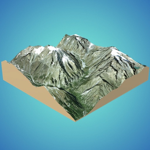
3D GIS Digital Elevation Model
Andres Narvaez
Generate 3D models from internet or cloud
Create 3D models from online sources like Bing Maps or local cloud points. Export data as CSV, TXT, STL, or OBJ. Modify models by cutting, scaling, and animating. Calculate surface areas and volumes in real-world units.

Compass 55. Map & GPS kit.
Kalimex-Consulting s.r.o.
Navigate with map, , and GPS
Navigation allows users to view and share GPS coordinates in six formats. It includes a , altitude, distance, and sunset/sunrise tracking. Users can set and edit waypoints with photo or audio notes.


Qibla Compass
Faisal Sultan
Find Kaaba Direction Anywhere Instantly
The app helps Muslims find the Qibla direction toward the Kaaba in Makkah using GPS, magnetometer, and location services. It works globally, even without an internet connection, and features a visually pleasing compass interface.

OsmAnd Maps Travel & Navigate
OsmAND B.V.
Plan routes, track progress, offline
View detailed with offline access. Search for locations by address or category. Plan routes considering road preferences and vehicle size. Track inclines and record GPX tracks. Customize data access and privacy settings.



Kansas City Scout Traffic
TransCore, LP
Track and view real-time maps
View real-time conditions on metro area freeways and streets. Access a zoomable map with scrollable navigation. Check lists of accidents, construction, and hazards. Get updates on special events impacting .

CarryMap
XTools Pro, Inc.
Export maps in CMF2 format
Manage and organize spatial geodata with maps stored in a catalog. Download and view maps in CMF2 format. Process and analyze geospatial data in the field without authorization or payments. Export ArcGIS maps to CMF2 using Builder.


Traffic Cameras: Live
Sereivoan Yong
View worldwide
Access camera feeds from various countries. View real-time visuals of highways, intersections, and city streets. Navigate and monitor conditions remotely.

Speedometer ⊲
Unicom TOV
Track speed, distance, and altitude
GPS tracks current speed, distance, and altitude. Displays average and maximum speed. Shows speed limits in real time. Supports mph, km/h, and knots. Measures travel time and battery level. Works offline.
How we rank alternatives
Apps are ranked by functional similarity, category fit, rating confidence, and popularity.