Explore geologic features and learn about rock formations. Access location-based summaries and global geologic maps. Document observations and track your geologic journey. Contribute findings and view detailed geological information.
by University of Wisconsin-Madison Shared Apps★ 4.4185 ratingsEducationFreeData updated 2026-09-11
Listen to audio descriptions of geologic formations as you drive. Tap on a map to explore details about nearby rock units. Receive information about the geology beneath your vehicle.
Record geological observations with spatial data collection using points, lines, or polygons. Capture photos and sketches. Create maps and stratigraphic sections. Use high-resolution image basemaps and nested Spots for multi-scale data management.
Click to advance , gain entropy, and unlock new species. Manage resources to build ecosystems. Track progress through geological time periods. Complete challenges to evolve life forms. Share achievements with friends.
Access geologic time scale data with a simple interface. View and scroll through eons, eras, periods, epochs, and ages. Select specific time divisions to see their names and numerical dates.
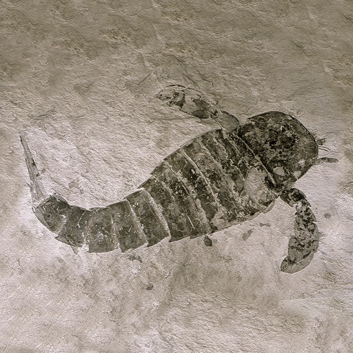
Identify rocks, minerals, crystals, gemstones, and fossils by snapping photos. View detailed information on composition, formation, and cultural significance. Access educational content about geological properties and historical context.
Explore National Park with GPS navigation and offline maps. View scenic vistas and geologic formations. Capture photos along the route. Learn about local legends and historical context. Receive guided narration during the drive.
Explore Earth's geological history by visualizing continents, oceans, and climate changes over billions of years. Adjust time scales to view past landscapes, track sea level shifts, and observe planetary transformations.
Analyzes photographs to provide quantitative data on rock fabric. Users can import images or take photos within the . The Edge Fabric tool plots ellipses to summarize brightness gradient orientations.
Virtual 360-degree tours of National Park. Navigate through rain forests, lava tubes, and pit craters. Play a treasure hunt game to identify plants and geological features. View animated timelines of volcanic eruptions.
Explore terms with definitions, illustrations, animations, and videos. Navigate a 3D globe to view geologic features linked to tectonic motion. Search terms or click icons to locate them on the globe.
Explore trails, rainforests, and mountains with self-guided audio tours. Discover hidden lakes and learn about the history. Navigate trails, view maps, and access trail difficulty ratings.
Use GPS to navigate trails . Import custom maps and create personal maps. Access topographic, hiking, cycling, and city maps from publishers like National Geographic and National Park Service. Sync with devices for use.