The app provides an interactive map of Egypt with millions of addressed buildings and points of interest. Users can search for addresses, buildings, areas, or places using bilingual search functionality and contribute by sharing images and reviews.
Monitor takeoff performance by comparing actual data to planned values. Input runway takeoff distance available, takeoff roll, and stopping distance. View real-time feedback on aircraft performance during takeoff events.
The app calculates distances, areas, and circumferences using algorithms that account for the Earth's curvature. It also converts position coordinates between different coordinate systems and supports various geodetic datums and projection methods.
The app provides aviation weather information, including METAR, TAF, and SIGMET data. Users can view current weather on a map and access most data offline for use during flights.
Plan flights with detailed weather forecasts and FBO data. View fuel prices and weather radar. Access graphical forecasts and accurate fuel pricing. Share flight plans and track progress. Sync with aviation databases for real-time updates.
View and download detailed maps with topographical hillshading and contour lines. Store maps for offline use. Navigate using detailed terrain features. Find hiking trails, ski runs, and back streets.
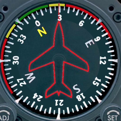
Displays a photorealistic -style indicator with both analog and digital readouts. Users can toggle rotation lock, simulate the instrument indoors, and view improved graphics. Supports latest iOS versions and includes bug fixes.
Explore the region with detailed maps and trail guidance. Discover 24 interpreted sites including natural attractions and historical landmarks. Find accommodation options and plan stops along the self-drive route.
Track speed, average speed, maximum speed, and directional speed. Measure velocity made good and wind speed. Calculate the Pilot Performance Index to assess flight performance. Compare results with others or against autopilot settings.