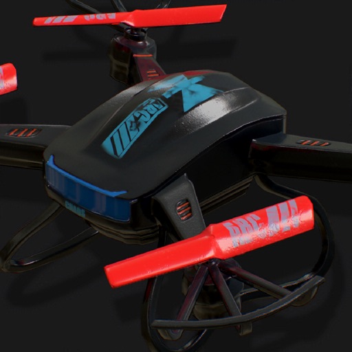
Displays drone location with altitude, yaw, pitch, and battery status. Connects via WiFi, Bluetooth Low Energy, or Cellular. Supports ArduCopter, ArduPlane, and ArduRover via MAVLink. Tracks flight data and allows remote control.
by Tom Brereton★ 4.0101 ratingsUtilities$13.99Data updated 2026-09-11
Flyover 360° allows users to select locations on a map, take off, and view 360° aerial perspectives. It enables flight plan preparation for drone operations. The connects to via iPhone, offering real-time control through a joystick interface.
Log drone flights directly from the without additional equipment. Track weather and temperature in Kelvin. Manage multiple drones in a fleet. Review records with location and crew details.
Record videos and images from a distance. Configure safety mode for controlled flight. Capture panoramic 360-degree views. Access instructional content for drone operation. Enable aerial photography features.
Connects to a drone via USB for real-time image display. Controls drone functions using the mobile phone as a remote. Adjusts flight settings and captures aerial photos. Sends commands for takeoff, landing, and movement.
Get in minutes by submitting flight details and coverage preferences. View policy terms, pay premiums, and receive instant coverage. Access customer support and track policy status through the .