Track routes, find waypoints, and navigate offline
Navigate outdoors with offline GPS maps and real-time augmented reality. Track waypoints and custom locations. Use a gyrocompass, speedometer, altimeter, and inclinometer. Find celestial bodies and measure angles.
Track elevation and climb rate in real-time. Calibrate altitude settings and check GPS accuracy. Send location links via SMS for easy sharing and navigation assistance. View maps in web browsers for location tracking.
Distances and areas on satellite maps. Select points to calculate length or size. Save measurements and share results. Compatible with various map views and zoom levels.
Display maps using GPS and MGRS coordinates. Measure distances and bearings between points. Save and share location data. View terrain and elevation details. Navigate with compass and grid alignment.
View real-time GPS maps and switch between map and views by holding the device. Track heading, , altitude, latitude, longitude, speed, and temperature. Use a for accurate navigation and monitor speedometer and temperature readings.
Track sessions with real-time GPS data including speed, average speed, distance, and elevation. Monitor heart rate and cadence. Save routes, analyze performance metrics, and sync data with fitness platforms.
Explore mountain biking trails with offline maps and GPS route details. View elevation profiles and interactive features. Access photos and expert recommendations for rides near you or in searched locations.
Find fueling from brands like Loves, Petro, and Flying J in the US and Canada. View RV facilities, street addresses, and interstate exits. Check weather, search locations, and access company websites.
Find trails with detailed GPS routes, elevation profiles, and interactive maps. View photos and expert insights for each trail. Search for hikes by location or area. Plan routes with suggested highlights and difficulty levels.
Track position, height, and acceleration with accuracy in feet, meters, miles, or kilometers. Log maximum altitude and speed. Display and save current or waypoints on a map. Choose coordinate formats for viewing.
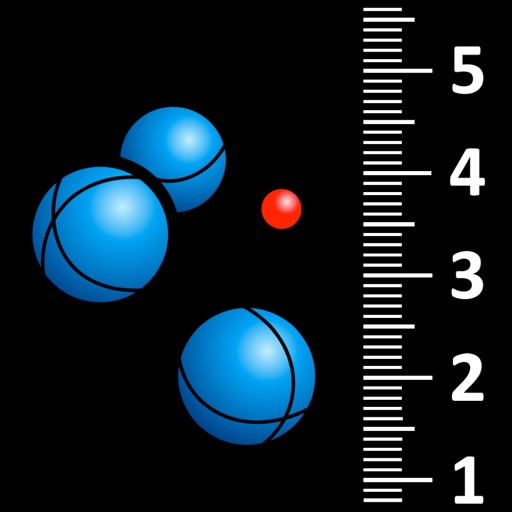
Measure pétanque distances automatically and easily.
The app measures distances between boules and the jack in pétanque games. It uses visual recognition to locate objects after a picture is taken, displaying rankings in real-time with optional manual adjustments.
Measure distances between boules and the jack in pétanque games using automatic photo capture with a bubble level. Tap on boules and the jack to identify them via visual recognition. Display measurements and rankings.
Track , distance, and performance with real-time GPS data. Display in mph and km. Log trips and view historical records. Set alerts and monitor journey details. Sync data across devices for ongoing performance analysis.
Provide turn-by-turn navigation with real-time GPS and live traffic updates. Compare multiple routes by time and distance. Recalculate routes dynamically as you drive. Control music, contacts, and other vehicle features from the iPhone interface.
Track speed and total miles during trips. Monitor max and average speed. Save trip history and export as a spreadsheet. Switch between miles and kilometers. Continue counting miles and time in background while using other apps.