Apps Like GPS Fields Area Measure Map for iPhone and iPad
, track distance, share results
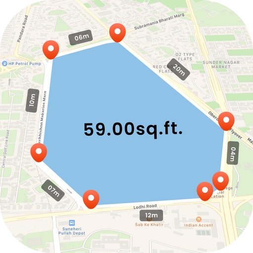
Distances, perimeters, and areas using GPS. Place markers on or objects. Share results with colleagues. Calculate quantities like spray or fertilizer needed. Export measurements for record-keeping.
by Rento UAB★ 4.612,671 ratingsUtilitiesFreeData updated 2026-09-11
Capture photos and field notes during site visits. Complete site visit checklists. Access -provided environmental data and historical records. View property and surrounding area information for comprehensive assessment.
Record issues with annotated images, titles, assignees, and comments. Organize tasks into projects and track and client details. Share customizable PDF reports via email.
Monitor field conditions using rainfall and temperature data. Track issue detection alerts and receive quantified reports. Prioritize fields for scouting and navigate to at-risk areas. Record observations with quick clicks.
Create custom call sequences with realistic sounds. Set individual delays between calls and enable loop playback. Use preloaded barks, yips, and distress calls. Play audio offline and continue playback while screen is locked.
Allows scouts to log geo-referenced field observations, notes, and images. Reports are synced wirelessly to a website for agronomist review and producer access. Users can manage customer lists with field locations and customize settings.
Calculate standard deviation, probable error, and error of the mean for surveying and civil measurements. Switch between imperial and metric units. Perform calculations for series of observations and single or combined accidental errors.
Provides color temperature readings via iPhone camera. Calculates ND filters using camera input. Offers real-time measurements with multiple lenses. Displays luminance histogram. Stores location-aware shot library with custom tags.
Measure areas using GPS or manual map points for accurate calculations. Switch between and distance modes. Save measurements for later access. Use compass navigation for directional guidance.
Manage farm data with real-time in-cab tools and field-specific weather forecasts. View imagery-based map layers and detect crop health changes automatically. Plan operations, scout fields, and track harvests.
The app records user trips, displaying tracks, position, and live information like speed and altitude. It also measures distances, areas, and perimeters by placing points on the map.