
ERIS Mobile
Capture photos, notes, and checklists on-site
ERIS Information Limited Partnership
iPhone Screenshots

Description
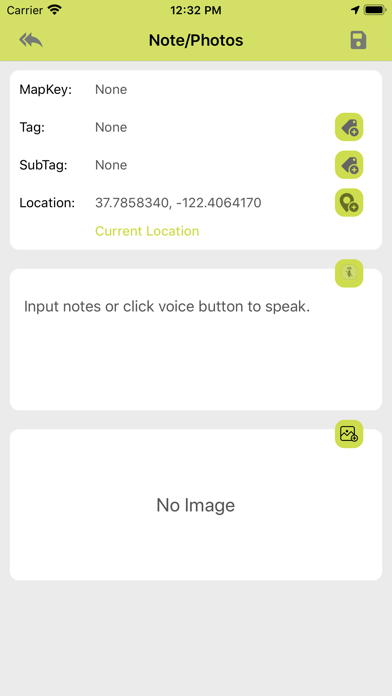
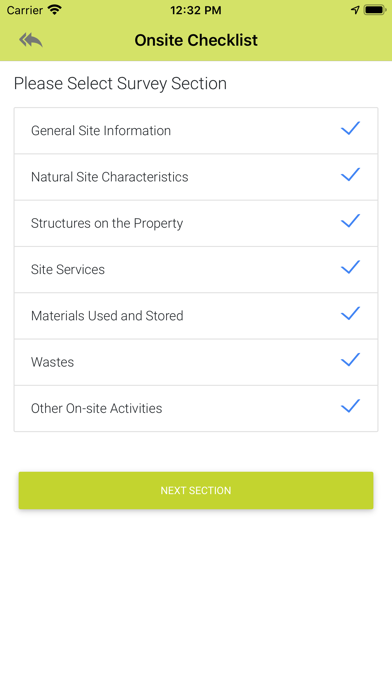
Capture photos and field notes during site visits. Complete site visit checklists. Access -provided environmental data and historical records. View property and surrounding area information for comprehensive assessment.
The ERIS Mobile app allows environmental professionals to perform efficient and effective site visits in order to complete their environmental due diligence on properties.
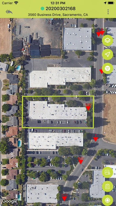
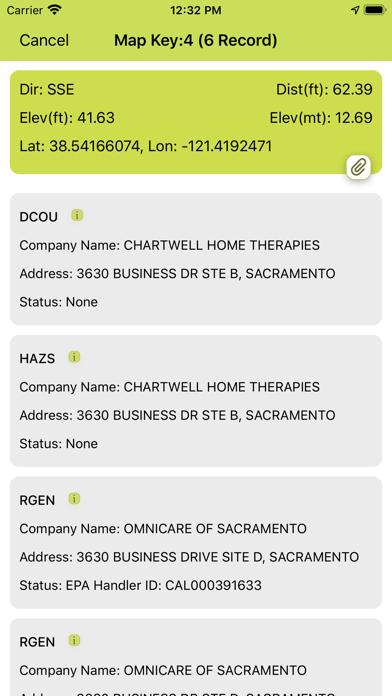
The mobile app captures photos, field notes, enables completion of site visit checklists and interactively displays ERIS-provided environmental data and historical products related to a project for comprehensive assessment. All ERIS' environmental records can be accessed for the subject property and surrounding area included in the study, as well as, any map layers including: Historical Aerials, Topographic Map, Fire Insurance Maps, etc.