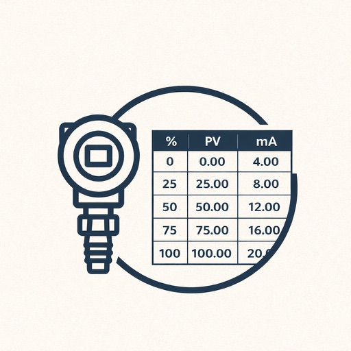
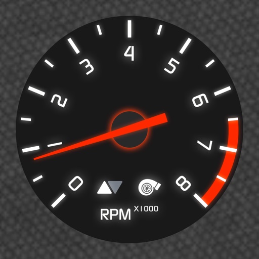
Monitor vehicle speed, battery level, and driving range in real time. Display navigation directions and media controls on the phone screen. Adjust dashboard layout and settings. Sync with the transmitter for accurate data.
Turn your iPhone or iPad into an outdoor GPS or marine chart plotter. Use detailed Topo maps or NOAA marine charts for navigation. Access maps offline without a network connection. View GPS location without mobile signal.
Manage GPS trackers with real-time tracking and push notifications. Set geofenced areas and no-go zones. Receive alerts for low battery, SOS, and speed limit exceed. View detailed history, reports, and device information.
Track real-time vessel movements and access detailed maritime data. Search for ships by name, MMSI, or IMO. View ship details, photos, and voyage information. Customize maps with overlays to identify ports, shipping lanes, and navigation markers.
Learn and practice code with modes for beginners and professionals. Practice listening comprehension and alphabet character recognition. Create text archives for classroom dictation exercises. Transmit LED-coded messages for encrypted communication.