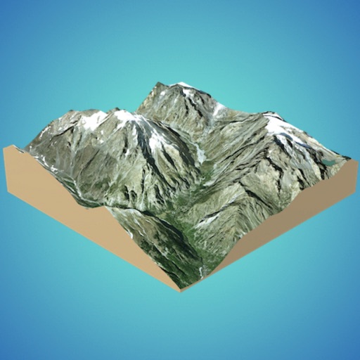
Manage and organize spatial geodata with maps stored in a catalog. Download and view maps in CMF2 format. Process and analyze geospatial data in the field without authorization or payments. Export ArcGIS maps to CMF2 using Builder.
by XTools Pro, Inc.★ 4.6228 ratingsNavigationFreeData updated 2026-09-11
Track hikes with distance, vertical gain, time, and calories burned. View maps with color-coded elevation tracks and stats on Apple Watch. Backup data to iCloud and share between devices. Use USGS and satellite maps for navigation.
Create and manage markers with custom titles, descriptions, dates, colors, icons, and images. Move markers freely on the map. Organize them into folders. Search and browse markers via a text-searchable list.
Measure distances and angles using a rangefinder and inclinometer. View GPS coordinates and map overlays. Take geo-tagged photos and videos. Use a compass and navigation calculator for orientation and route planning.
Access offline topographic of New Zealand. Download and manage to conserve storage. Locate DOC huts, campsites, and hunting areas. Search for named locations. Import GPX routes and share via AirDrop. Measure distances on .
Track up to 20 friends on a shared map. Sync waypoints, tracks, routes, and collections across devices. Plan routes using the same maps and vehicle profiles as on the Tread device. Import and export GPX files.
Navigate off-road trails and remote areas with maps and turn-by-turn directions. Mark waypoints, track routes, and view elevation data. Access terrain details and compass navigation without internet connectivity.
Plan routes and save them for future use. Create and manage tracks with waypoints. Share routes with friends. Download maps for navigation. Mark locations and export tracks in GPX format. No ads and no time limits for use.
Create 3D models from online sources like Bing Maps or local cloud points. Export data as CSV, TXT, STL, or OBJ. Modify models by cutting, scaling, and animating. Calculate surface areas and volumes in real-world units.
Calculate altitude using GPS, ASTER, or barometer (iPhone 6 and later). Display average altitude from GPS and ASTER data. Show peaks, compass, and distance grid on an integrated map. Support Apple Watch. Choose unit of measurement.
Navigate using auto-direction based on current location. Create routes on Google . Access latest Street View and traffic data. Search locations with simple input. Add multiple pins and view full-screen . Display latitude and longitude.
The app allows users to create and edit information in OpenStreetMap. Users can add points of interest, streets, paths, buildings, and bodies of water, with full undo/redo support and offline capabilities.
Track routes for hiking, running, cycling, and other activities with GPS. View recorded paths on maps. Save favorite locations for quick access. Measure distance, speed, and elevation. Export data in various formats.
Use device as high-performance GPS receiver with USA Raster Nautical . Access without cell signal. Navigate safely in emergencies. Sync with chart plotter if available. Download for offline use. Track location and display real-time data.