

Apps Like CarryMap for iPhone and iPad
Export maps in CMF2 format
Manage and organize spatial geodata with maps stored in a catalog. Download and view maps in CMF2 format. Process and analyze geospatial data in the field without authorization or payments. Export ArcGIS maps to CMF2 using Builder.
CarryMap screenshots
Ranked alternatives
Showing 481–500 of 1,000 ranked alternatives.

MapToaster NZ Topo Maps
Integrated Mapping Ltd
New Zealand topo maps for planning.
The app provides New Zealand topographical maps with detailed placenames and conservation area borders. Coordinates can be displayed in various formats, and users can navigate to waypoints with a head-up display.

Aus Map
Virtual Map (Australia) Pty Ltd
Australia's most up-to-date mobile map.
The app offers a mobile map of Australia with searchable addresses and updated road maps. It includes GPS positioning, driving directions, and over 100,000 amenities.
Offline Map App
Infinite Loop Development Ltd
Download maps and view
View interactive maps of any city without an internet connection. Download maps for specific locations while online. Navigate streets, search for points of interest, and access map details .



RFSBuddy
Volunteer Technology Services Australia Ltd
Record and share GPS coordinates easily.
The app records and shares GPS coordinates and field notes. It tracks user movement and provides GPS location services in multiple formats, including MGRS.

Place Pin
FLONDEX LLC
Save, manage, and share locations
Organize locations into customizable categories. Share locations via messaging apps or social media. Save and manage places for daily or special use. Add notes and tags to locations. Sync across devices for easy access.


Ember Map
Jarred Casley
Track hotspots and navigate fireground terrain
View and analyze satellite hotspots and GPS data. Access topographic maps and AAHS/NWCG symbology. Import GeoPDF files. Use fire behavior calculators to assess conditions. Track location and monitor fireground activity in real time.

Here Easy
Blue Blink One, SL
Know where users are easily.
The app provides coordinates, direction, and elevation above sea level. Users can save locations by searching and tapping on the map, then send this information via email, Twitter, or SMS.

Topo maps - Sweden
Shingle Oy
Save tracks and view topography offline
Use topographic of for accurate navigation. Save and view tracks with detailed information. Export tracks as GPX files and import place marks. Measure distances on . Access offline without internet connection.

NZ Topo50 North Island
Right Place Resources Limited
Offline maps for New Zealand's North
The app provides offline topographic map coverage of New Zealand's North Island. It includes satellite images, elevation data, and integrated information on land boundaries and trails.
Scenic Map Grand Canyon
Mark Granger
Explore landscapes in three dimensions.
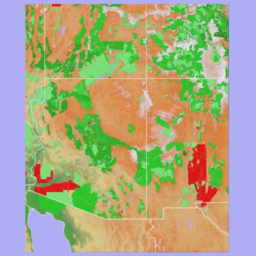
The app provides 3D topographic maps for iPad and iPhone. Vector map data is contained within the app for offline use, supporting navigation in various environments.




How we rank alternatives
Apps are ranked by functional similarity, category fit, rating confidence, and popularity.