Locate your position relative to mapped areas including oyster grounds, clamming areas, and crab sanctuaries. View private leases and fishing device locations. GPS accuracy is within 50 feet for equipped devices. Works without cellular service.
by Todd Sperling★ 4.611 ratingsReferenceFreeData updated 2026-09-11
Access airport information including runway details, facility data, and operational hours. Search by city, name, or code. Save favorite airports and set a home base for quick access. Browse airports by continent, country, and region.
Access and search Texas laws and statutes offline. Bookmark and study legal texts. Includes tools for law enforcement and legal professionals. Receive updates with new laws as they are released.
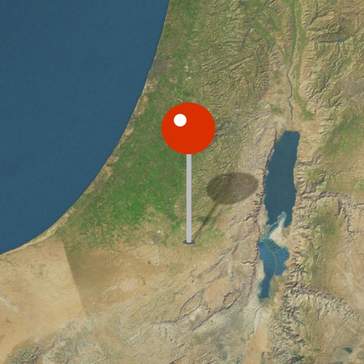
Explore biblical locations with interactive maps and historical artifacts. Zoom into detailed regions, view ancient sites, and discover how archaeological findings support biblical narratives.
Locate NYC buildings using Google Street View. View historical summaries from the NYC Preservation Commission. Filter by building types such as firehouses, libraries, and theaters. Access information about over 850 on iPhone, iPad, and Mac.
Explore wildlife with detailed field guides featuring species identification and behavior. Plan self-drive routes with maps and points of interest. Learn about park history and conservation efforts. View interactive maps and track animal sightings.
Study AP Human with flashcards, practice questions, and quizzes covering key curriculum topics. Review concepts, test knowledge with multiple-choice questions, and track progress through built-in assessments.
Track reactor power levels and operational modes. Receive notifications for reactor trips. Access NRC event reports and detailed info on U.S. reactors. View historical and current reactor data. Stay updated on nuclear power industry activities.
Identify Indigenous Nations and territories in Canada using GIS technology. Learn about acknowledgements and treaties. Watch educational videos on the importance of acknowledgements.
View 360° surroundings of the incident location. Locate and manage the nearest in-service fire hydrant across 140+ municipalities. Pre-plan life-saving strategies with dynamic building views, overhead hazards, and working fire hydrants.
View biographical information about and convent history. Submit prayers directly. Read and share user-submitted prayers globally. Track global paper letter submissions. Requires internet access for data retrieval.
Track firefighting aircraft in real time using radar. Set alerts for specific aircraft takeoffs. Define zones to receive notifications when aircraft enter designated areas. View flight paths and monitor activity related to operations.