
iPhone Screenshots
iPad Screenshots


Description
Identify Indigenous Nations and territories in Canada using GIS technology. Learn about acknowledgements and treaties. Watch educational videos on the importance of acknowledgements.
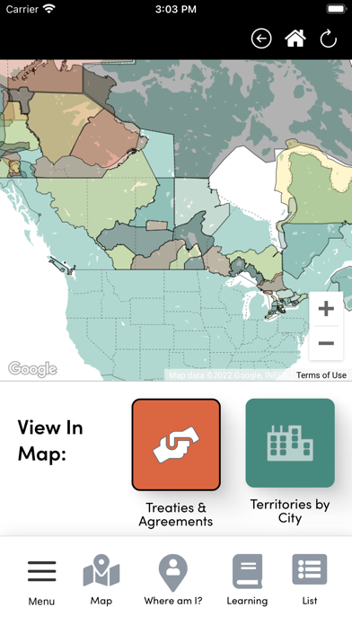
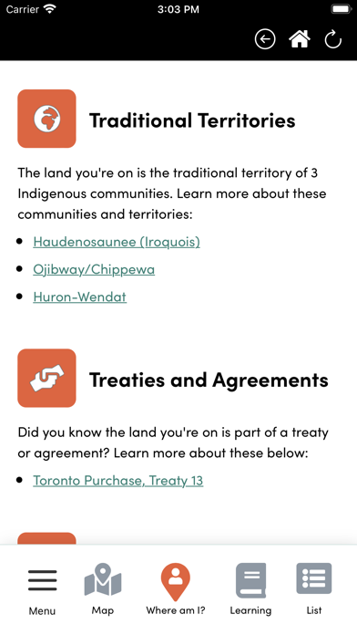
Whose Land is a web-based app that uses GIS technology to assist users in identifying Indigenous Nations, territories, and Indigenous communities across Canada. The app can be used for learning about the territory your home or business is situated on, finding information for a land acknowledgement, and learning about the treaties and agreements signed across Canada.
Educational videos are available to watch that will give you a better understanding of why land acknowledgements are important, and the way Indigenous people view their relationship to land.
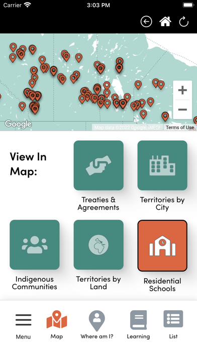
The Whose Land app is a collaboration between Canadian Roots Exchange, TakingITGlobal, and Bold Realities. The app consists of six different maps of Indigenous territories, Treaties, and First Nations, Inuit, and Metis communities.
Each community's location will eventually host a land acknowledgement video, and other information that the community would like to include on their page. The app will be used as an educational tool to create dialogue around reconciliation. It will be a starting point for conversation between Indigenous and non-Indigenous citizens across this country about land, territorial recognition and land acknowledgement.
App information from Apple App Store. Whose Land and related trademarks belong to TakingITGlobal.