

Apps Like Sail Buddy for iPhone and iPad
Track course and speed with NMEA data
Displays course, speed, and NMEA data in a clean interface. Supports split screen mode on tablets. Integrates with Apple Watch for real-time tracking. Allows side-by-side use with navigation apps.
Sail Buddy screenshots
Ranked alternatives
Showing 381–400 of 1,000 ranked alternatives.

Anchor Club
SAILSECRETS LIMITED
Track position and alert status
Set position using Smart Drop or map selection. Monitor status and receive alerts. Access community data for sailing conditions. Track boat location and receive notifications if movement is detected. Share location with trusted contacts.

WayLog - Simple GPS Tracker
Tsuneki Kamura
Record trips with GPS and voice commands
Record routes with GPS, track elapsed time, distance traveled, straight line distance, average speed, and last recorded speed. Start or stop recording via voice or NFC tag. View route and metrics on screen. Compatible with Apple Watch.




My GPS Area Calculator
MYSTIC MOBILE APPS LLC
Measure spaces with GPS or manual points
Measure areas using GPS or manual map points for accurate calculations. Switch between and distance modes. Save measurements for later access. Use compass navigation for directional guidance.

CJ Speed - SpeedTracker
炽金 练
Measure in real time
Measure for walking, jogging, cycling, driving, sailing, and flying. Display in metric or imperial units. Switch between units and view dual scale readings.

Speedometer''
PYROGUSTO INC.
Calculate speed using iPhone GPS.
The app displays the user's real-time speed using the iPhone's GPS feature. It also shows the history of the user's speed for comparison.

Private Tracker
64 Characters UG (haftungsbeschraenkt)
Track locations and export routes as GPX
Track location with GPS and view high-resolution OpenStreetMap maps. Export track data in GPX format with limited zoom and time restrictions in free mode. Use servers for data storage and avoid data collection.

iBFDmonochrome
Tatsuo Saeki
Monitor flight data and backup instruments
Provides a backup flight display with attitude indicator and heading indicator. Displays critical flight data during instrument failure. Allows pilots to monitor aircraft orientation and direction. Integrates with GPS for accurate navigation.

AirTrack Classic
Joao Cabral
Track flight data in real time
Track flight altitude, speed, and heading in real time. Monitor waypoint progress and adjust flight path remotely. Control simulated flights via plugin integration. View navigation data wirelessly from a mobile device.

KNRM Helpt
Stichting Koninklijke Nederlandse Redding Maatschappij
Royal Netherlands Sea Rescue Institution official app.
The app allows users to register vessels and sail plans, and track trips via smartphone. Users can plan trips with estimated arrival times and emergency contacts, or activate tracking.

Water Map Live
Martijn de Meulder
Navigate waterways and track boating routes
Navigate waterways in the Netherlands, Belgium, and Germany with detailed charts showing fairways, buoys, and traffic signs. Access bridge and lock information, including opening times and contact details.

Żegluj: water navigation
Infeo Marcin Marek Gryszko
Navigate lakes, find ports, track routes
Navigate inland waterways with real-time route planning and safety alerts. Avoid hazardous areas with a unique warning system. Share current coordinates. Find ports, accommodations, and technical stops. Learn about essentials for safe boating.
Aircraft Heading
Sean Flanagan
Track with realistic indicator
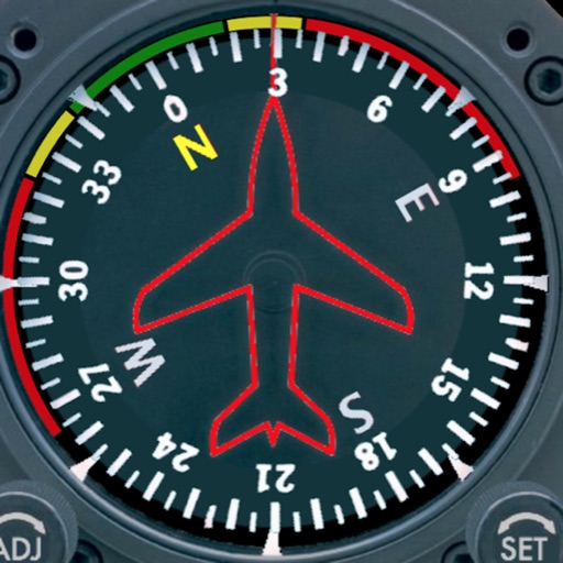
Displays a photorealistic -style indicator with both analog and digital readouts. Users can toggle rotation lock, simulate the instrument indoors, and view improved graphics. Supports latest iOS versions and includes bug fixes.
How we rank alternatives
Apps are ranked by functional similarity, category fit, rating confidence, and popularity.