Explore by rotating, tilting, and zooming a 3D globe. Select locations to view topographical data and gravity maps. Pinpoint key features like volcanoes, craters, and spacecraft landing sites.
by Viktor Goltvyanytsya★ 4.4200 ratingsEducationFreeData updated 2026-09-10
The app offers a 3D tour of the Universe guided by Professor Brian Cox. Users can explore celestial bodies, witness cosmic events, and access over 200 interactive articles and BBC videos.
The app provides real-time tracking of the International Space Station. It offers visible and 24-hour pass predictions with alert notifications for overhead passes.
Find public machines worldwide. Filter locations by machine type, operator, or location. Save favorites. View recent activity near you. Add or remove machines to update the map. Comment on machine conditions.
Explore the with 3D visuals and real NASA photos. Interact with an AI that answers questions and provides explanations. Navigate through planets and moons. Learn about space missions and celestial bodies through engaging content.
Explore astronomy with daily high-quality space images and wallpapers. Access latest NASA news and discoveries. Search astronomy keywords in a comprehensive database. Learn about missions, spacecraft, and space observations.
High-definition maps with detailed imagery. Navigate using interactive maps and street to explore streets and neighborhoods. Discover locations and landmarks with zoom and pan features. Save and share specific views of surface.
Explore 3D models of Earth, Mars, and the Moon with detailed surface data. Navigate the planets, zoom in on features, and fly through orbit. View planets in VR with compatible headsets or on a standard device without additional equipment.
Track satellite passes using augmented reality. View the International Space Station, Starlink Trains, and other satellites in real time. Overlay positions on the night sky via iPhone or iPad camera.
Navigate public transport with detailed and subway maps. Find routes offline without internet. Plan trips by viewing fastest paths and transfer points. Access station listings for quick navigation.
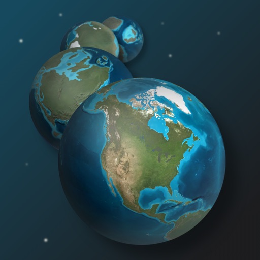
Explore Earth's geological history by visualizing continents, oceans, and climate changes over billions of years. Adjust time scales to view past landscapes, track sea level shifts, and observe planetary transformations.
The app allows users to tap colorful balls that roll across the screen. The ball's movement is influenced by the smartphone's tilt and gravity, creating a relaxing experience.
Explore 3D maps and high-resolution satellite imagery for detailed terrain and city views. Use live to navigate and discover locations. Find landmarks and plan routes with accurate location data.
Find current fuel prices in West Coast regions. Locate fuel stations with maps and driving directions. Track carbon reduction with CleanDrive reports. Check vehicle compatibility and fuel specifications. Access support in English and Spanish.