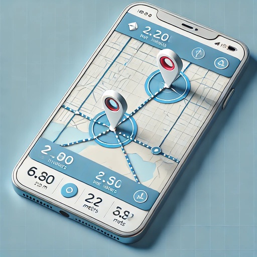
Lets users measure distances and areas on maps. They can plot radius areas with specified centres and sizes. Share maps as images to show routes, areas, or radii. Adjust colors and export map views.
by GV Software Solutions Limited★ 4.09 ratingsUtilities$2.99Data updated 2026-09-10
Allows field tech workers to view and interact with GIS maps offline or online. Users can access custom forms for data collection, view dynamic labels and layers, and navigate maps with touch controls.
Record driving routes with GPS tracking of distance, speed, and elevation. Replay trips, organize them in a Garage, and generate shareable links for private or public access.
Navigate the Western Balkans with high-resolution maps that adjust to all zoom levels. Find biking routes, hiking trails, accommodations, and local dining options. Access details and points of interest.
Rides with live stats including distance, speed, elevation, and calories burned. View real-time location and route on a map. Save completed rides to review statistics and mapped routes later.
The app provides a centralized location for processing logistics-based orders. Users can view remaining orders, obtain photo proof of delivery and electronic signatures, and see daily route overviews with visited and remaining orders.