GPS Area Calc
A2 Consulting LLC
Calculate and convert map areas easily.
The app calculates area based on plotted points on a map or GPS points. It allows conversion between various area units and saving/sharing of calculated areas.

Measure distances, share maps as images
Lets users measure distances and areas on maps. They can plot radius areas with specified centres and sizes. Share maps as images to show routes, areas, or radii. Adjust colors and export map views.
Showing 241–260 of 1,000 ranked alternatives.
A2 Consulting LLC
Calculate and convert map areas easily.
The app calculates area based on plotted points on a map or GPS points. It allows conversion between various area units and saving/sharing of calculated areas.


Skubbs Private Limited
Find clinics, manage ecard, check balance.
The app provides a clinic locator to find accredited clinics and offers convenient access to an ecard. Users can submit claims, monitor their status, and check entitlements and annual balance.


Nanshu Kaneshiro
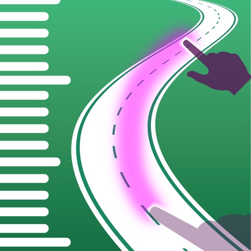
Measure distance by tracing on map.
The app measures distance by tracing on a map with a finger. It supports both kilometers and miles for units.

Barry Langdon-Lassagne
Record bird observations and share checklists
Record bird observations with time, location, and count details. Edit entries to adjust location, time, or bird numbers. Create and organize bird checklists. Share observations and view maps showing observation locations.

Skwad Link LLC
Trigger alerts when you arrive at a
Save locations and set geofencing to receive notifications when entering or exiting specific areas. Add tasks to locations for timely alerts. Sync with calendar events for automatic . Manage multiple locations and customize preferences.

Mudassar Ahmed
Navigate with real-time routes and 3D
Find routes with real-time traffic updates and voice-guided . View 3D aerial and use a digital compass for orientation. Plan trips with AI-generated itineraries and track progress toward destinations.

Nick Romano
Track workouts, view metrics, export routes
Record workouts with heart rate, speed, elevation gain, and other metrics. Import and export GPX and FIT files. View offline with custom tiles. Overlay routes from GPX, FIT, KML, or GeoJSON files. Generate walking and cycling directions.


Eggyothin Pila
Measure distance and bearing on maps
Display maps using GPS and MGRS coordinates. Measure distances and bearings between points. Save and share location data. View terrain and elevation details. Navigate with compass and grid alignment.


Reman Attar
Distance, height, width, length, and area
Distances, heights, widths, and lengths using your phone's camera. Calculate area with the area tool. Save measurements, remove limits, and export data to Excel. Includes flashlight and screenshot features. No ads with premium subscription.

恒俭 董
Calculate size and step info
Calculate sizes and compare rim compatibility. Input measurements to determine proper fit. Display results in a today widget for quick reference. Track step-by-step calculations for accuracy.

ObjectGraph LLC
Record route and keep photos.
The app records a user's route and associated photos. It tracks walks, hikes, runs, and rides, showing distance, time, pace, speed, and climb.


伟 雷
Track and position data
Measure , position, and coordinate information in real time. Customize display settings for , speed, and coordinates. Use the coordinate picker to retrieve location data from any map point.
Apps are ranked by functional similarity, category fit, rating confidence, and popularity.