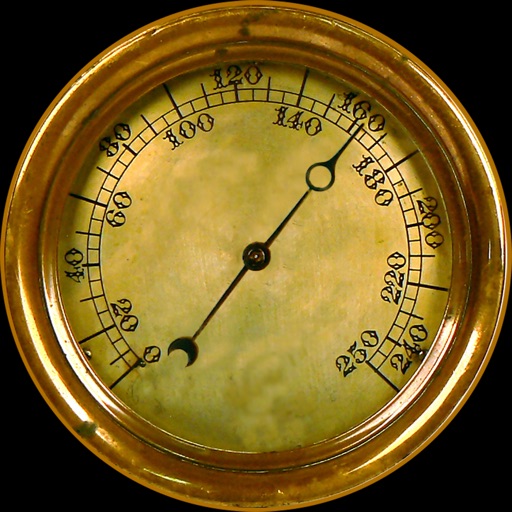
Navigation provides altitude, barometric pressure, and compass readings. Measures humidity, rainfall, and temperature. Includes magnifying glass, metronome, ruler, and spirit level. Displays speed, vertical speed, and VU meter.
Convert geographic coordinates to map locations and vice versa. Input latitude and longitude to place a red pin on the map. Long press a map point for 0.5 seconds to display its coordinates.
Convert lengths between metric and imperial units. Switch between meters, centimeters, inches, and feet. Input values manually or via voice. Save frequently used conversions. Share results via copy or email.
Use to view a digital overlay. Navigate using GPS for real-time directions. Check accuracy based on device sensors. Adjust orientation for precise navigation.
Track real-time speed and power using a digital . Monitor maximum and average speed during trips. Use a to determine direction, view altitude, and track coordinates.
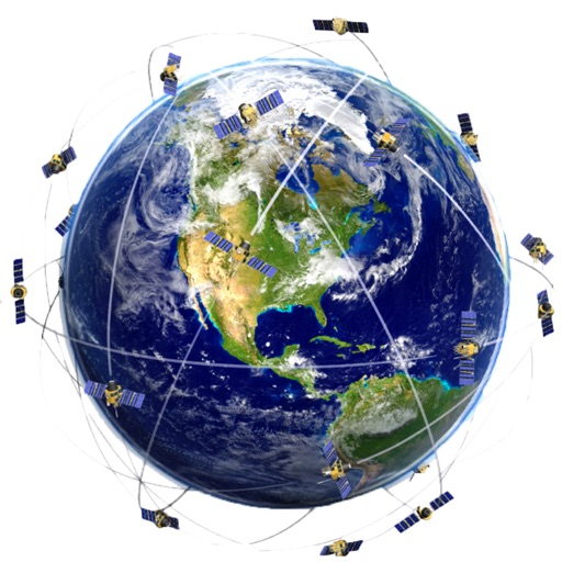
Display and coordinates using iPhone GPS. View precise location data instantly. Features a clean interface for quick reading of coordinates. No unnecessary features or tabs.
Displays current location with address, latitude, longitude, altitude, and time. Includes AR navigation and satellite map views. Share location data. Choose from 4 theme colors. Automatically updates location and unlocks screen.
Navigation displays real-time telemetry data including location, heading, altitude, speed, distance, and elapsed time. Users can customize display modes, units, and configurations by tapping or long-pressing values.
Record bore data directly into the program to generate real-time bore profiles and as-built reports. Track drill string position on a phone screen. Add underground obstacles and send as-built documents directly from the construction site.