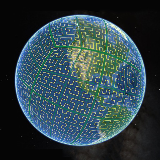
Display S2 cell boundaries globally. View cell IDs and compare with real-world landmarks. Integrate with Ingress Intel Map to check portals and stops. Ensure new submissions align with cell boundaries.
Create 3D maps using LiDAR scanning. Edit and customize maps with automated tools. Export maps in open file formats. Publish maps for navigation and wayfinding. Upload and share maps for use in various applications.
Distances, areas, and routes on maps using standard, satellite, terrain, and hybrid views. Calculate total area between points or along a route. Display coordinates in UTM and MGRS formats.