Taiwan traffic information system always available.
The app provides 24-hour traffic information for highways, expressways, and provincial roads across Taiwan. It offers personalized, location-based traffic updates, including accidents and congestion, directly on the map.
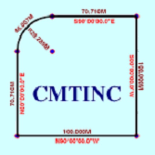
The app converts real property descriptions into boundary maps. Users enter angles and distances to draw property boundaries, displaying closure error, total area, and perimeter.
The app graphs equations in two and three dimensions, including explicit functions, implicit relations, and parametric curves. It supports various coordinate systems and allows for numerical, graphical, or symbolic equation solving.
Measure distances, remember locations, get headings.
The app measures distances, remembers locations, and provides magnetic headings between selected points. It displays coordinates in decimal degrees and degree minute second formats, and allows users to save locations with custom names.