

Apps Like GPS Data Smart for iPhone and iPad
Track altitude, speed, and location
Track altitude, elevation, and GPS coordinates. Monitor speed in km/h or mph. View compass direction. Check GPS signal quality. Log location for outdoor activities like running, mountaineering, or traveling.
GPS Data Smart screenshots
Ranked alternatives
Showing 221–240 of 1,000 ranked alternatives.

3D Offline Maps: GPS tracker
SERGEI BEZDENEZHNYKH
Save routes, create tracks, share locations, mark
Plan routes and save them for future use. Create and manage tracks with waypoints. Share routes with friends. Download maps for navigation. Mark locations and export tracks in GPX format. No ads and no time limits for use.

My Speed - GPS Speedometer
Raween Kalicharan
Track speed with a clean interface.
The app displays the user's current speed using GPS. It offers three units: km/h, mph, and knots, with a high contrast display for readability.


Get My GPS Coordinates: Finder
NBApps
Find your location on the map
Display your current GPS location on a map instantly. Manually search for places, cities, or states. View and share exact coordinates via copy/paste or direct sharing.
Speedometer Classic
FAPPS WORLD et Cie SCS
Track speed with GPS and unit auto-switch
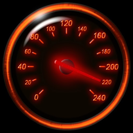
Track speed using iPhone's GPS. Display speed in mph or km/h based on region settings. Show max and average speed. Choose between digital and analog display styles. Monitor speed during car, bike, running, or riding activities.



WGPS 2 AR | GPS Display App
Makoto Katsumata
Locate, share, and update position
Displays current location with address, latitude, longitude, altitude, and time. Includes AR navigation and satellite map views. Share location data. Choose from 4 theme colors. Automatically updates location and unlocks screen.

Timestamp Camera - GPS Camera
Nalin Savaliya
Add location and to photos
Add location details to photos with GPS coordinates, latitude, and longitude. Include and address. View map data and track geocodes. Share geotagged images directly.


Map Notes My Location
SHIGETO TAKAGI
Save coordinates and edit map data
Save and edit coordinates with latitude and longitude. Use GPS to capture current position or search by keyword. View maps and annotate locations with or tags. Share data via copy or export options.

Altimeter X
LiveWorlds
Track altitude with GPS and barometer
Navigation provides altitude estimates using device location service for general use. It offers barometric altitude tracking with iPhone 6 or newer, allowing precise relative elevation changes.

Nav Camera
Craig Hunter
Record photos and videos with data overlays
Record photos and videos with real-time data overlays. Use augmented reality for navigation. Access proven navigation and image processing technologies. Capture geospatial data during recordings. Share media with embedded location and time stamps.

TerraCam: GPS Satellite
Oanh Hoang
Capture photos with GPS location
Capture photos with GPS, date, and time tags. View live cameras from various locations. Explore 360-degree panoramic images. Navigate using an interactive 3D Earth map. Check real-time traffic and travel updates.


Pear Altitude - GPS / No Ads
自力 黄
Record and track your journey
Track with real-time GPS measurements and second-level precision. Monitor oxygen levels and elevation changes. Log journeys offline and sync data later. Customize themes and access advanced tracking features without login or ads.

Moon Seeker
Ajnaware Pty Ltd
Track lunar phases and eclipses
View lunar phases and eclipse details with start and end times, maximum magnitude, and visibility. Use calendar, compass, map, and AR camera views to track the path and timing. Plan outdoor activities based on optimal light conditions.
How we rank alternatives
Apps are ranked by functional similarity, category fit, rating confidence, and popularity.