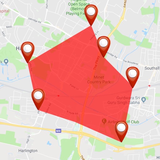
Lets users measure distances and areas on maps. They can plot a radius around a point with customizable color and size. Share map images to indicate routes, areas, or radii. Export maps as images for documentation or communication.
by GV Software Solutions Limited★ 4.061 ratingsUtilitiesFreeData updated 2026-09-10
The app displays track, heading, distance, ground speed, time enroute, ETA, and fuel burn on one screen. It includes METAR and TAF weather access and 55,000 airports and navaids offline.
Calculate midpoints between two addresses. Display bars, cafes, and restaurants within 1, 3, 5, or 10 mile radii. Save and share midpoint locations. Provide directions to the midpoint.