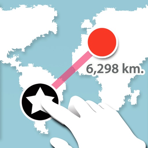
Lets users measure distances and areas on maps. They can plot a radius around a point with customizable color and size. Share map images to indicate routes, areas, or radii. Export maps as images for documentation or communication.
by GV Software Solutions Limited★ 4.061 ratingsUtilitiesFreeData updated 2026-09-10
Distances, heights, widths, and lengths using your phone's camera. Calculate area with the area tool. Save measurements, remove limits, and export data to Excel. Includes flashlight and screenshot features. No ads with premium subscription.
Locate nearby emergency shelters, food banks, clinics, and job programs. View real-time availability and service details. Access live maps for navigation. Receive alerts for nearby openings and support options. No login required.
The app provides an alarm for expiring parking time and helps users locate their parked car. Users can also find nearby parking spots within a 5km radius on a map.
Customize appearance with background colors, GIFs, and pattern images. Adjust button colors, text, borders, and size. Access special characters and supports multiple languages. Does not collect user data.
A GPS for golfers allows users to lock the screen by pointing at the green. Set markers to measure distances between points. Multiple markers can be placed and adjusted. Zoom in and out using pinch gestures. Demo mode is available for practice.
Track crew hours using GPS for automatic clock-in and clock-out. Log travel for material runs. View accurate hours by employee, crew, and project. Edit or adjust entries in real . Delegate clocking tasks to staff or manage manually.